Day 4:
Rhenigidale, Isle of Harris to Torridon, west coast of Scotland (~ 200 miles)
https://maps.google.com/maps?saddr=Rhenigidale,+United+Kingdom&daddr=57.63286,-6.24137+to:Talisker+Scotch+Whisky+Distillery,+Carbost,+United+Kingdom+to:57.4414271,-5.8410873+to:Torridon,+United+Kingdom&hl=en&ll=57.370977,-5.921631&spn=1.32105,4.158325&sll=57.443102,-5.688858&sspn=0.164801,0.519791&geocode=Ff_GcwMdRwGa_ynl9omMtZaNSDGg8moO_7zWFg%3BFVxobwMdpsOg_ynV4ipSqc-NSDFBj3TcGWgMEw%3BFaFdagMdwQKf_yGJNOaOSJOFzQ%3BFZN8bAMdQd-m_ykzn4gDsoGOSDH8JTUGsIOzpw%3BFWkQbgMdSeir_ynxsYhOi2GOSDEud_RAiI67YQ&oq=Tali&mra=dvme&mrsp=3&sz=11&via=1,3&t=m&z=8View in the morning from the hostel at Rhenigidale
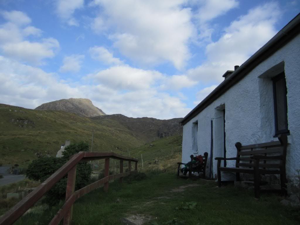
and the other direction
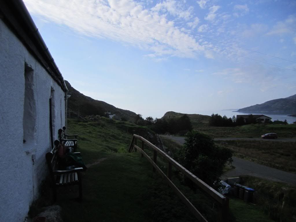
leaving...
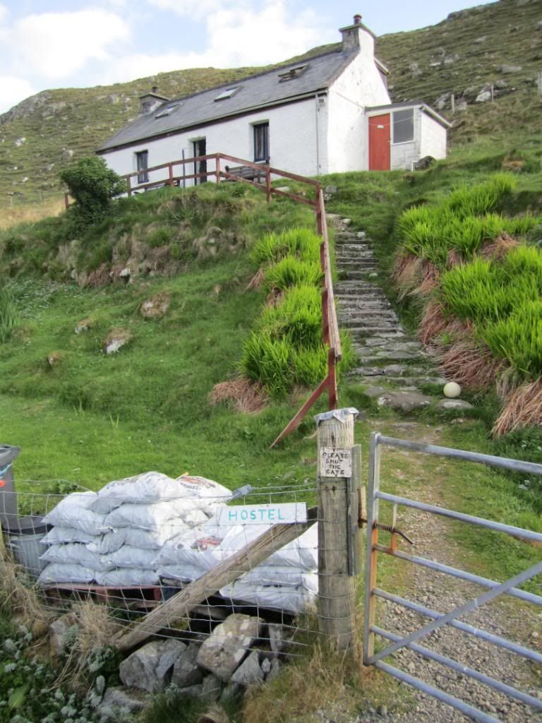
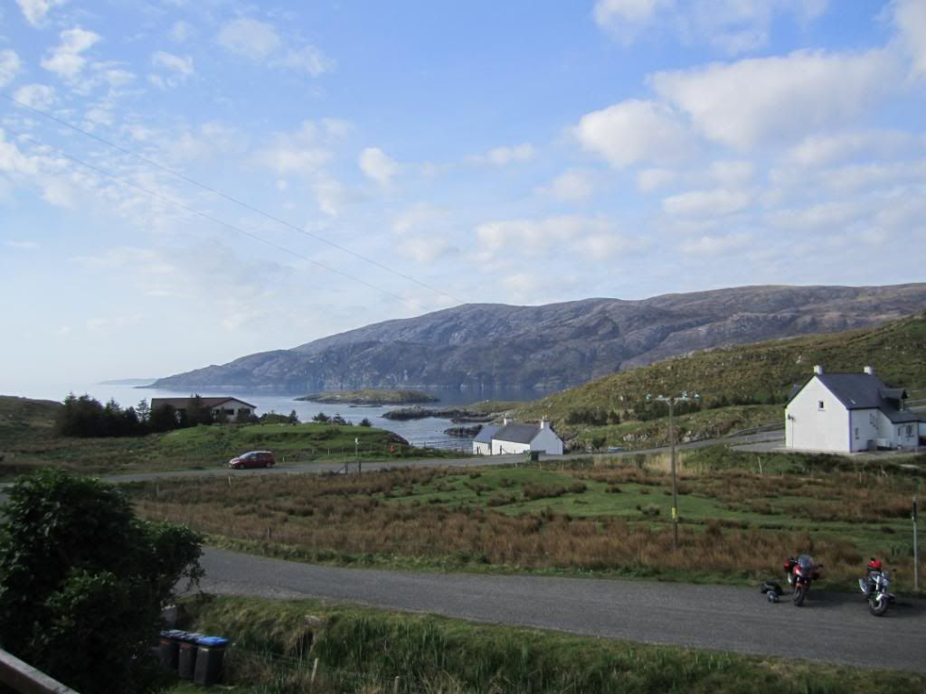
climbing the steep road out
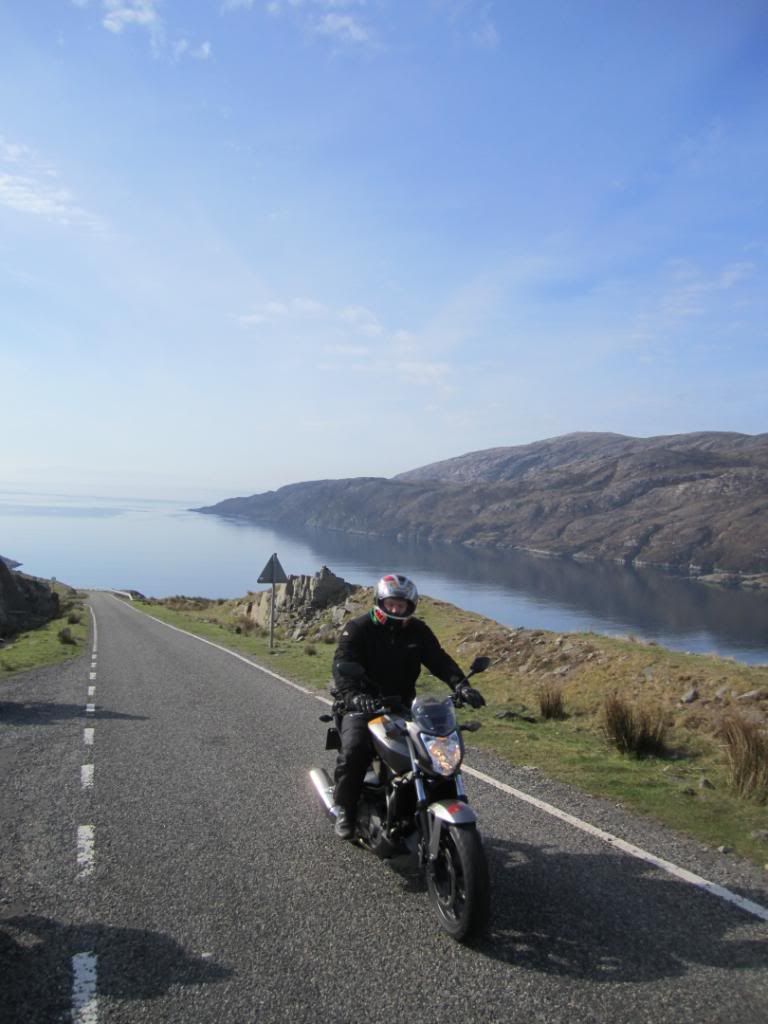
and the road ahead
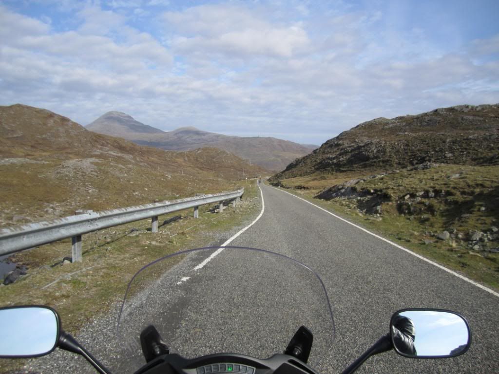
and then down hill
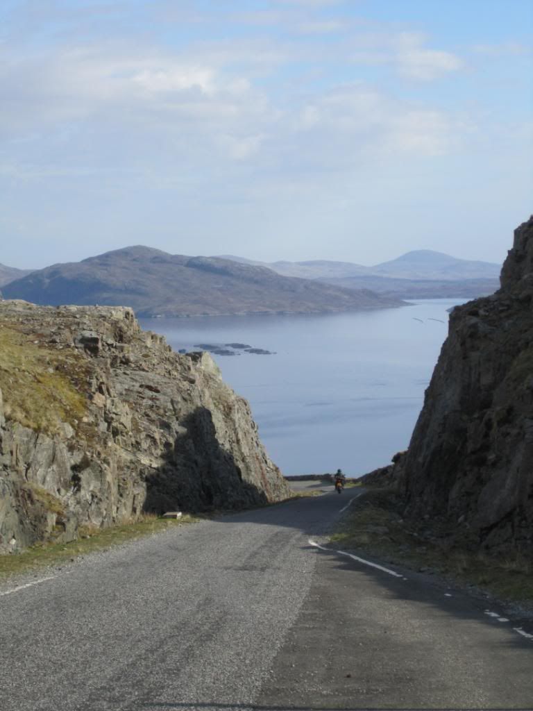
and the view
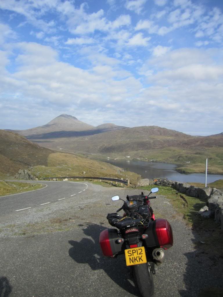
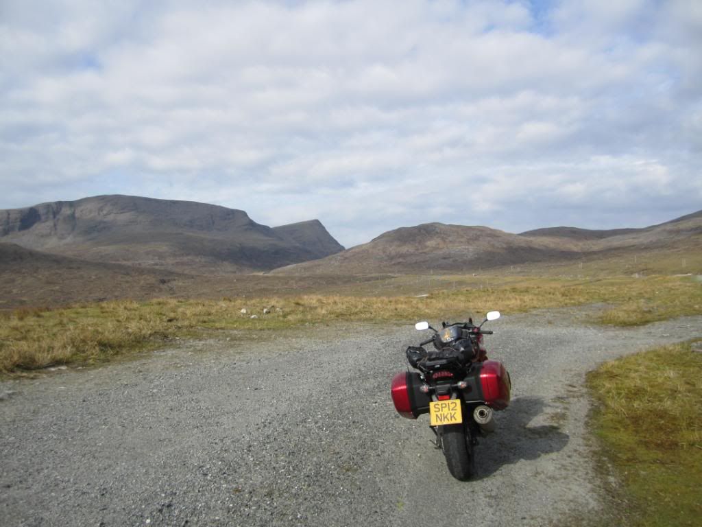
We dont spare any expense for breakfast on this trip

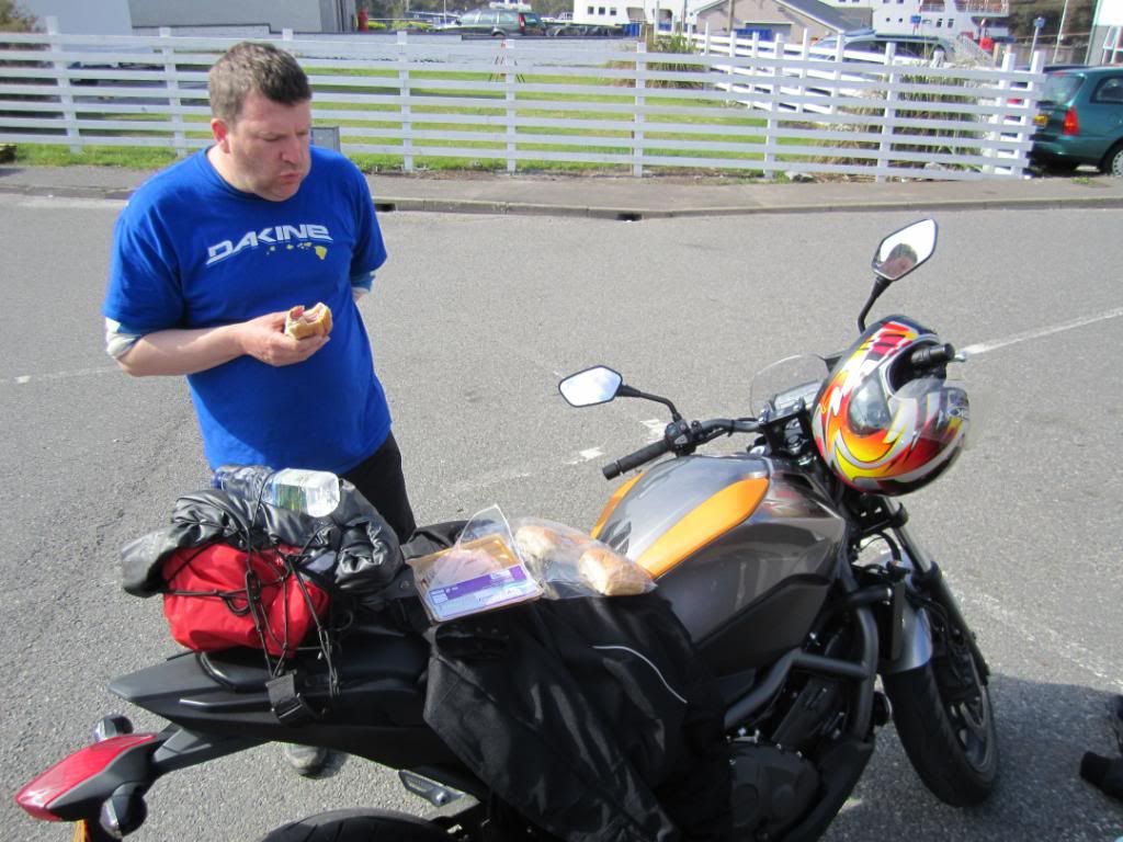
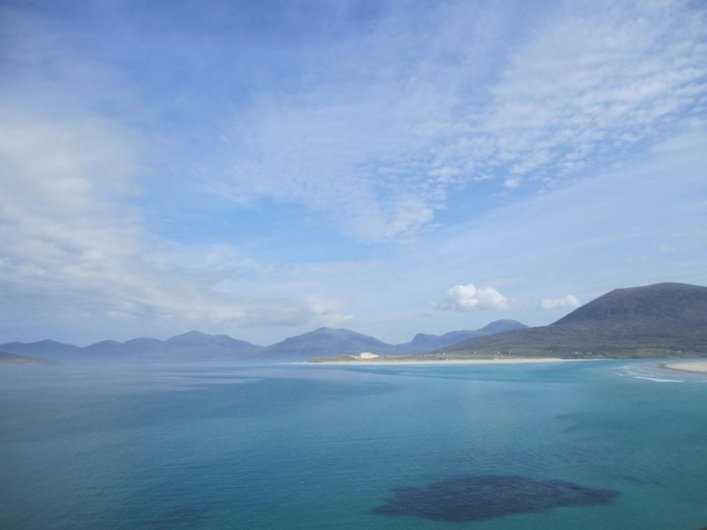
We had one hour before the ferry left for the Isle of Skye so we decided to head south to the famed beaches of Harris...
New road!
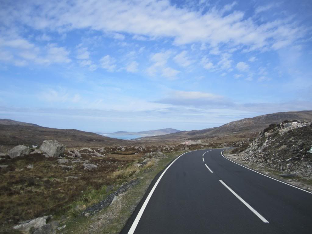
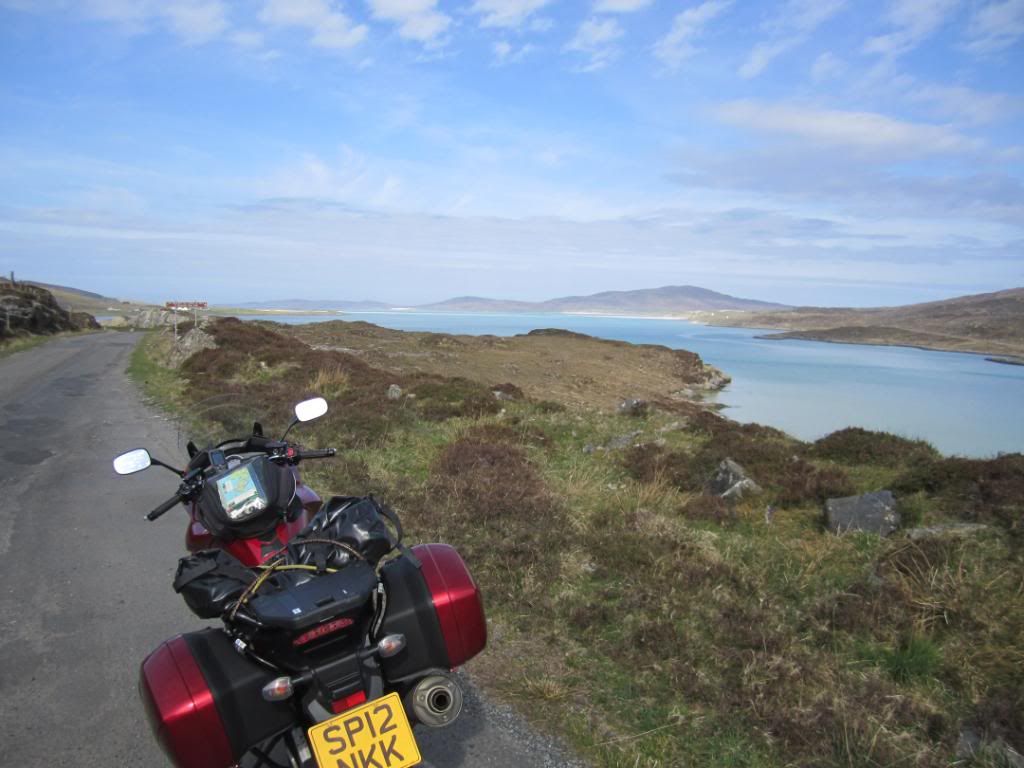
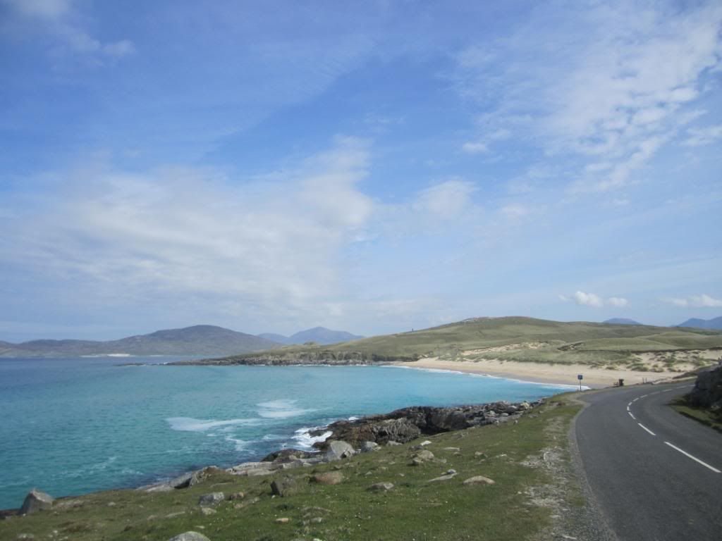
The beaches here are amazing
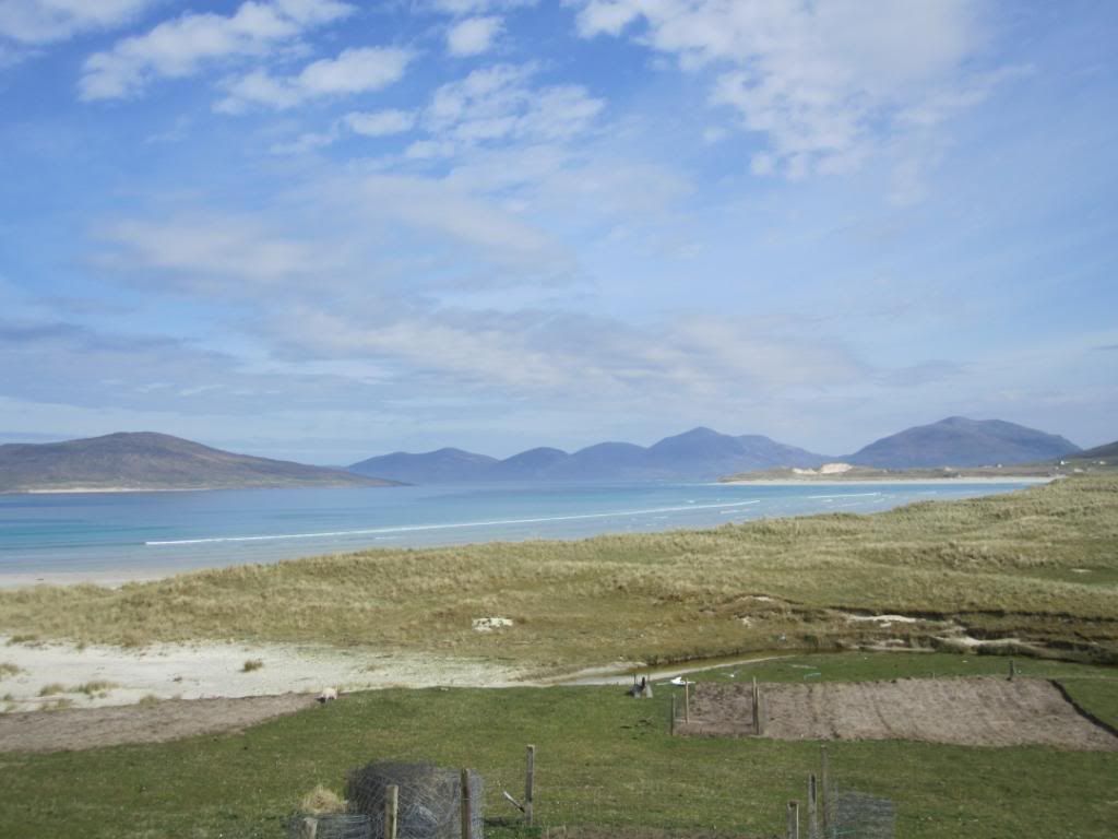
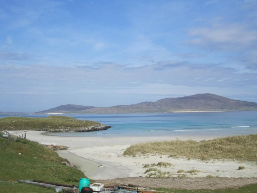
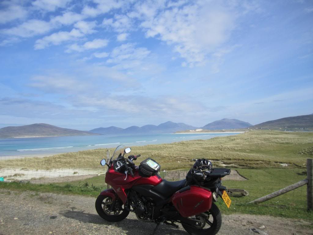
and water so blue/turquoise
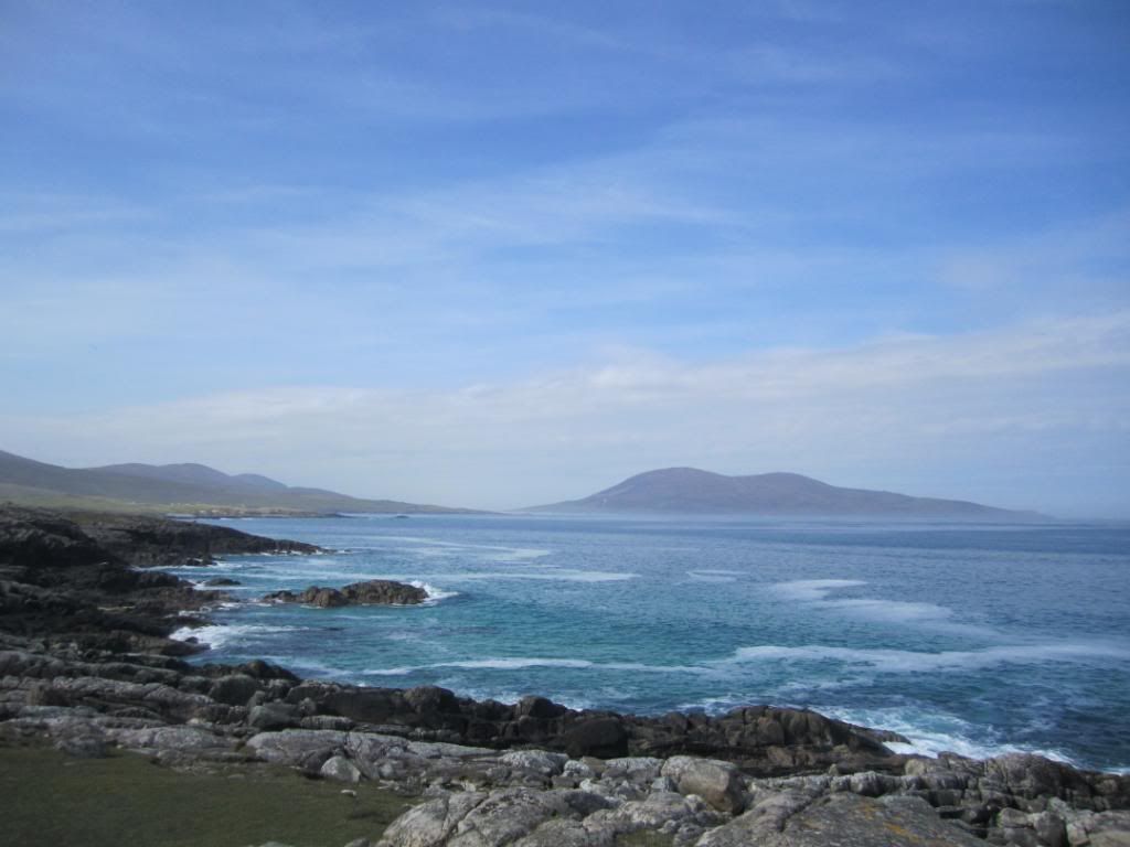
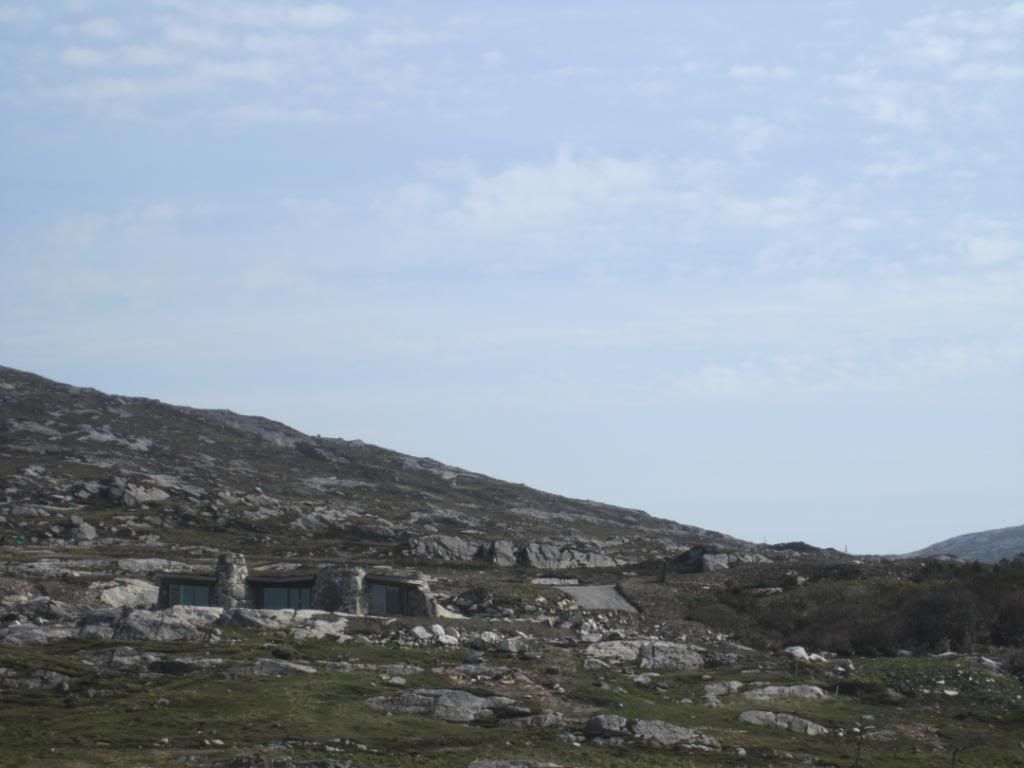
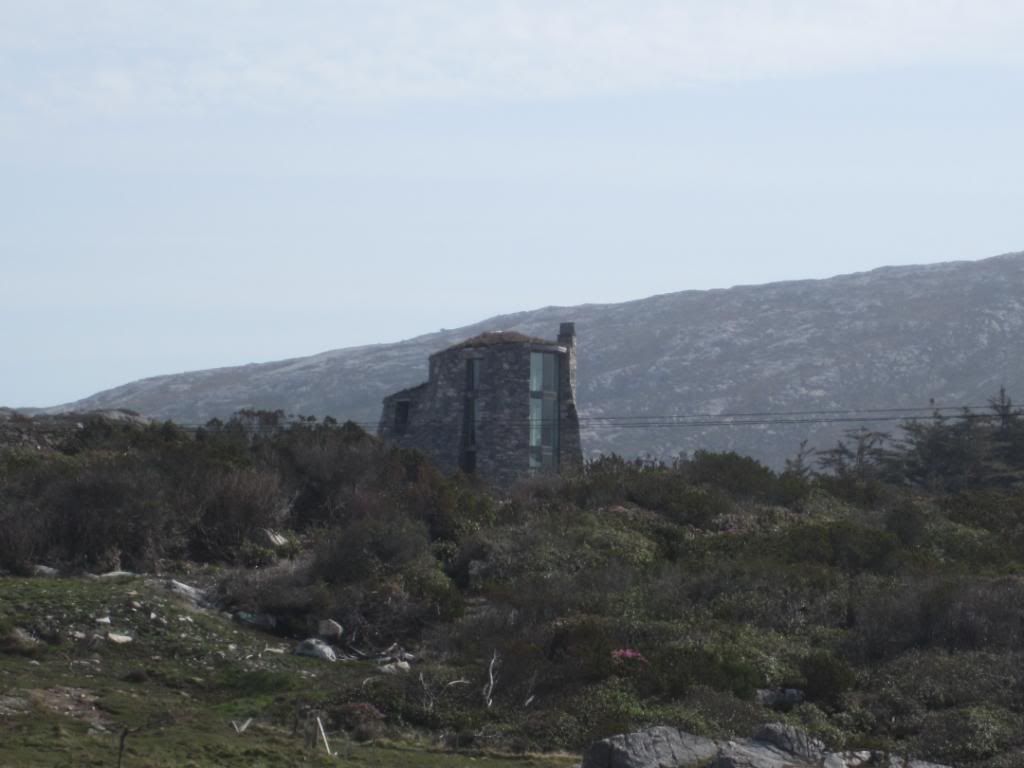
Interesting architecture
and more beaches
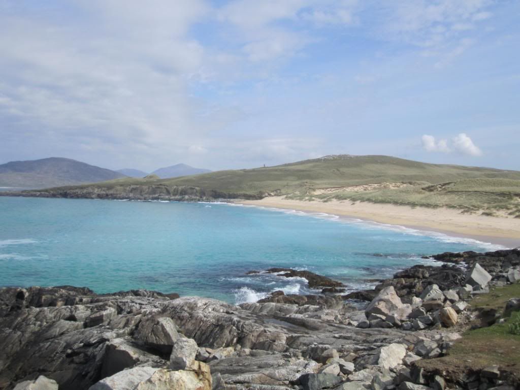
and then we headed back to the port at Tarbert for the Skye ferry
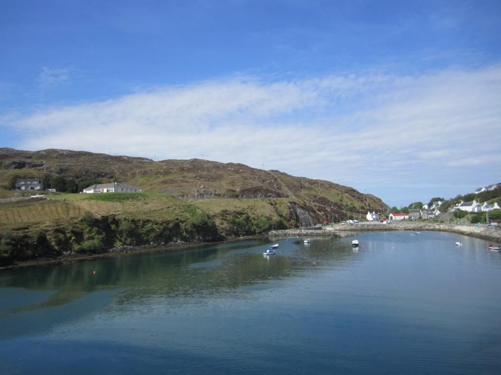
Goodbye Harris!
The bridge to Scalpay
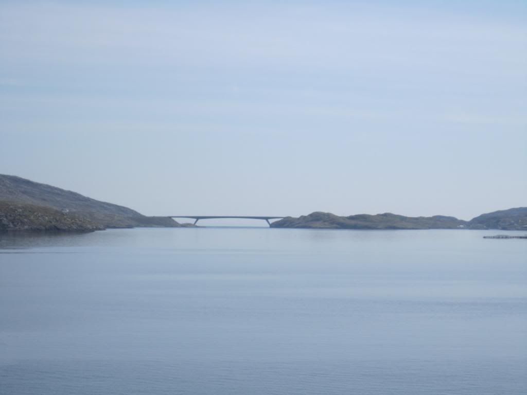
Scalpay is around 2.5 miles (4 km) long and rises to a height of 341 ft (104 m) at Beinn Scorabhaig. Scalpay's nearest neighbour, Harris is just 330 yds (300 m) away over narrow Caolas Scalpaigh. The two islands were linked in 1997 by a bridge that replaced the ferry service. The main settlement on the island is at the north, near the bridge, clustered around An Acairseid a Tuath (North Harbour).
In 2001, the island had a population of 322 people, whose main employment is fish farming and prawn fishing. (taken from
http://en.wikipedia.org/wiki/Scalpay,_Outer_Hebrides)
The Isle of Skye!
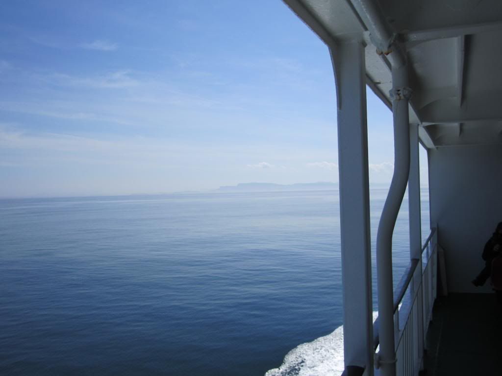
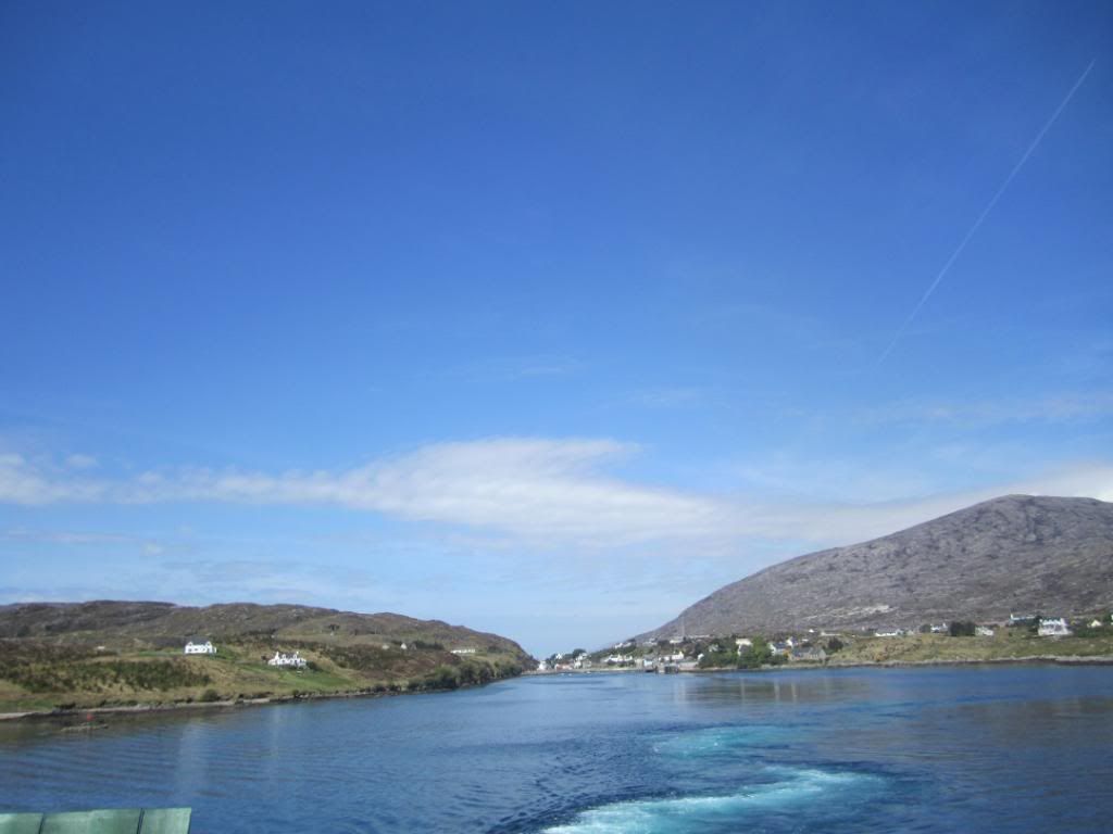
Goodbye Harris
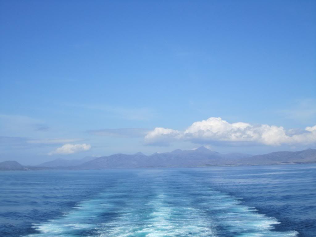
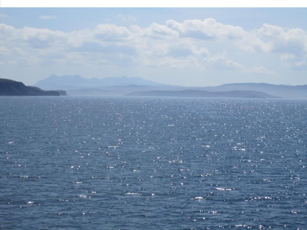
The Black Cuillins of Skye can be seen in the distance
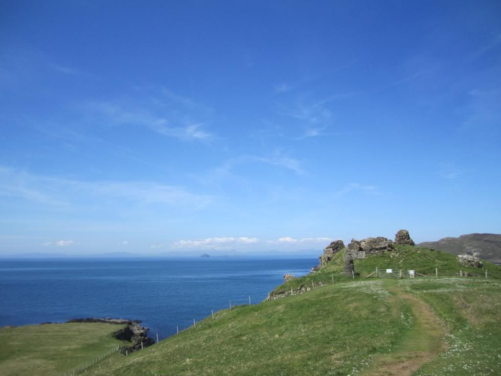
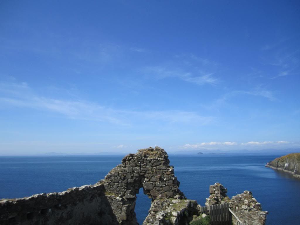
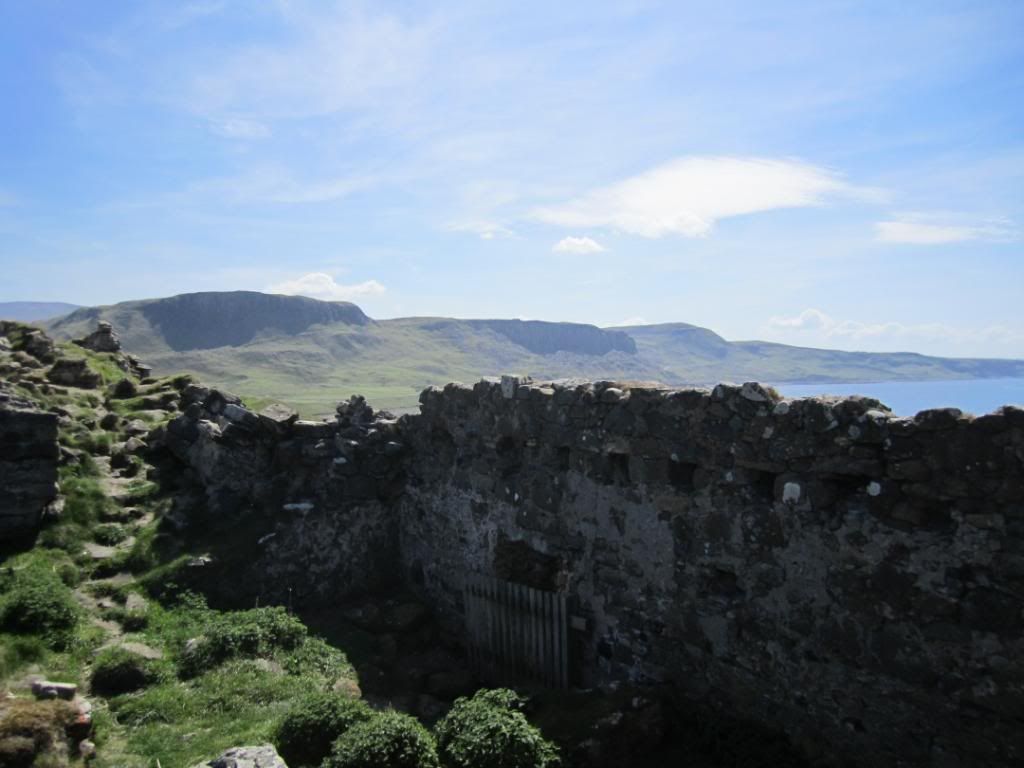
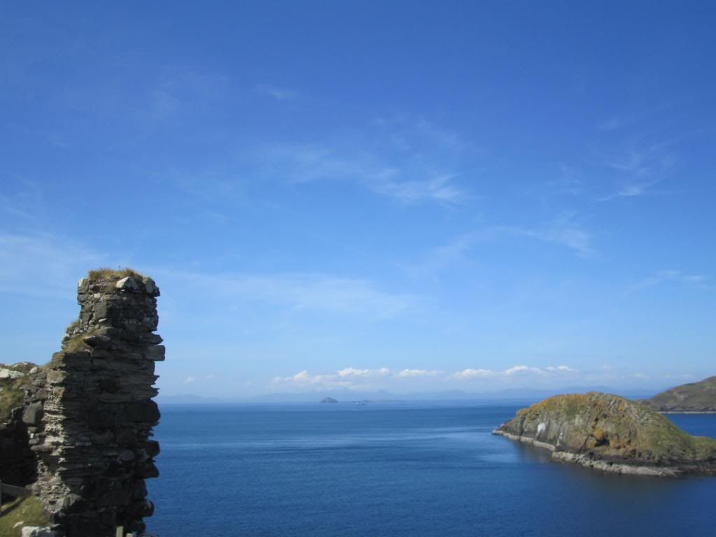
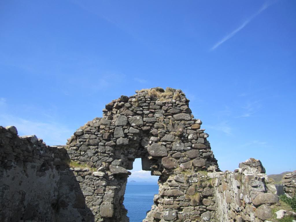
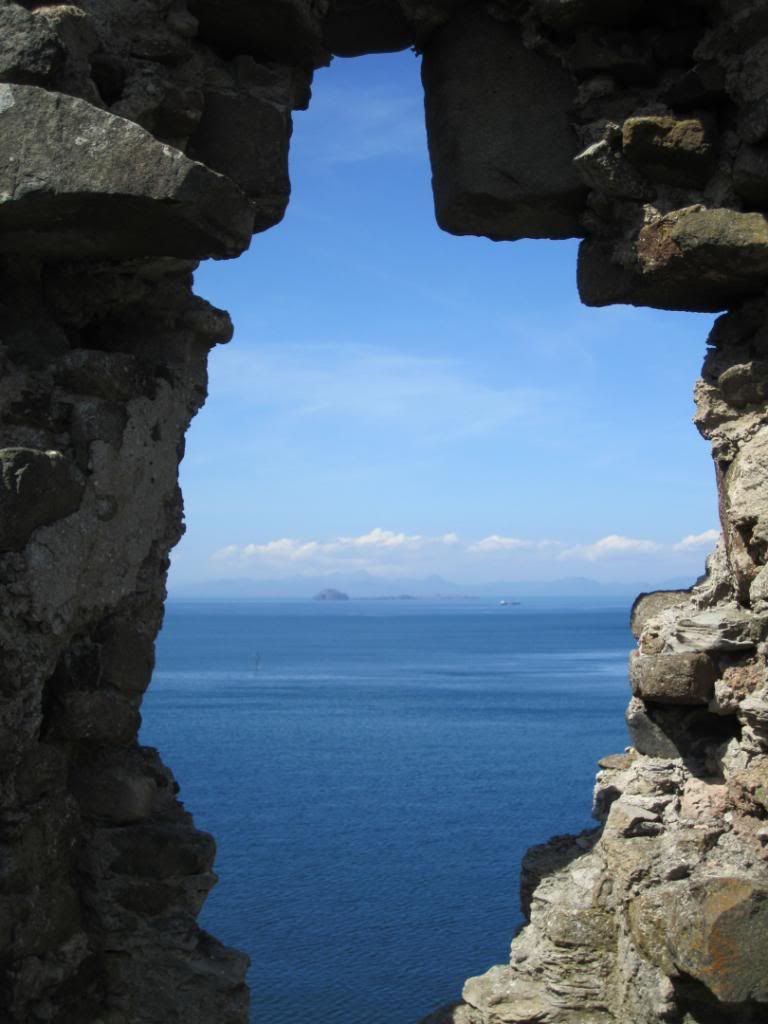
Another ruined castle this time on the Isle of Skye overlooking the Scottish mainland - Duntulm Castle
it stands on the north coast of Trotternish, on the Isle of Skye in Scotland, near the hamlet of Duntulm. During the 17th century it was the seat of the chiefs of Clan MacDonald of Sleat.
The castle was built in the 14th and 15th centuries, when the area was subject to feuds between the rival MacLeod and Macdonald clans. The defences were improved in the 16th century, and by the early 17th century the Macdonald's had finally gained the upper hand in the area. In 1618 the Privy Council and Sir Donald Macdonald of Sleat, "Donald Gorm Og", the 9th chief, signed a charter, requiring him to repair Duntulm.[1] This was done, and a second tower was added. Around 1650, the castle's importance peaked, when further improvements were made, and a rectangular structure or house was built within the wall. Around 1732 the castle was abandoned, when Sir Alexander Macdonald built a new residence, Monkstadt House, 5 miles (8.0 km) to the south, robbing much of the castle's stone as building material.(from Wikipedia)
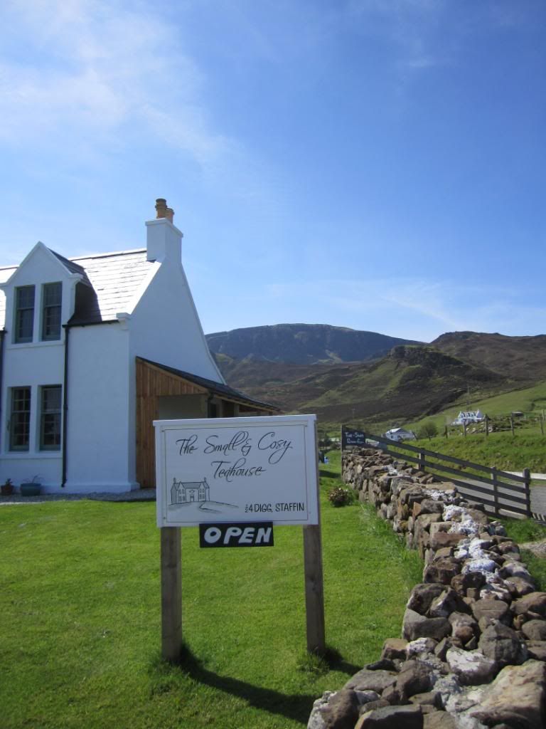
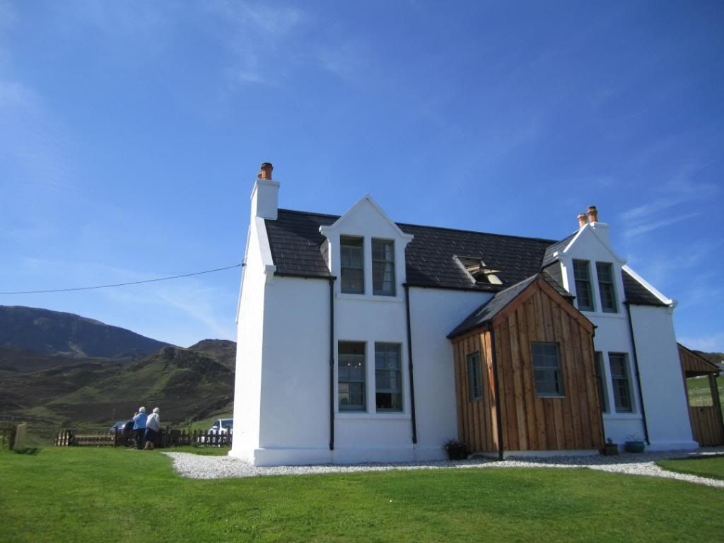
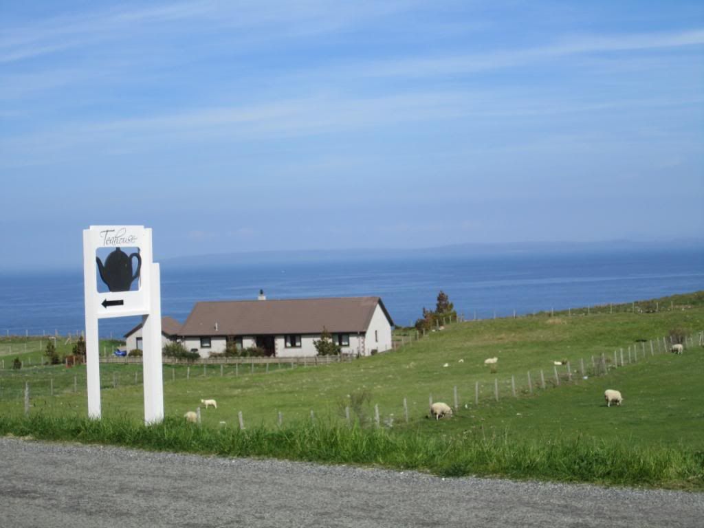
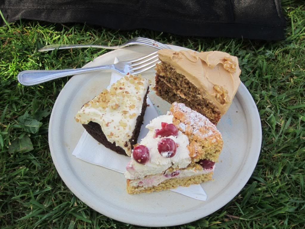
By this time it was around 2pm and we hadnt had lunch yet. There is a dearth of lunch places in Scotland particularly in the Highlands and so we stopped at the first place we saw - in this case the "Small and Cozy Tea Shop" - run by a beautiful Czech woman and her husband...everything homemade but no sandwiches - only soup and cake

we sat outside and enjoyed the sunshine (from the shade

)
Next stop was the the Quiraing a dramatic escarpment
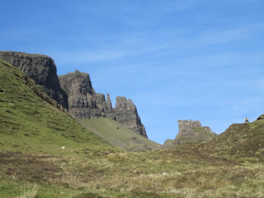
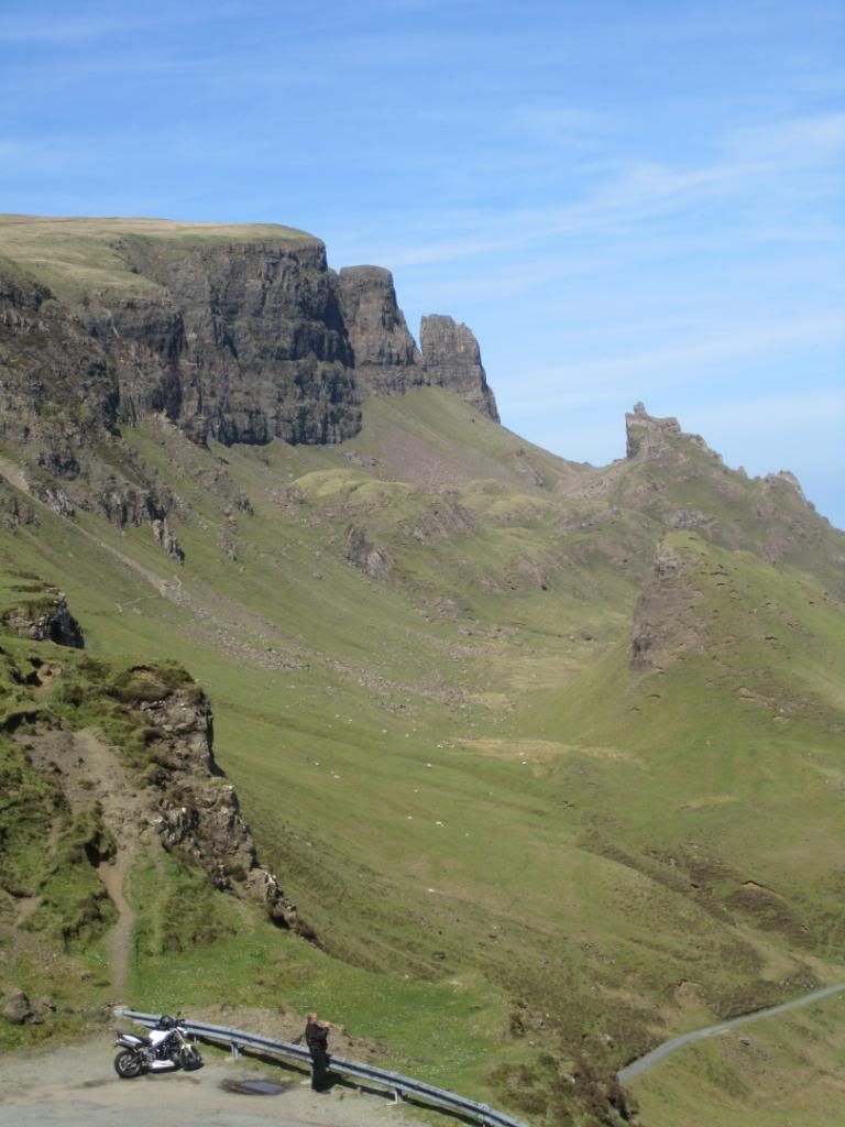
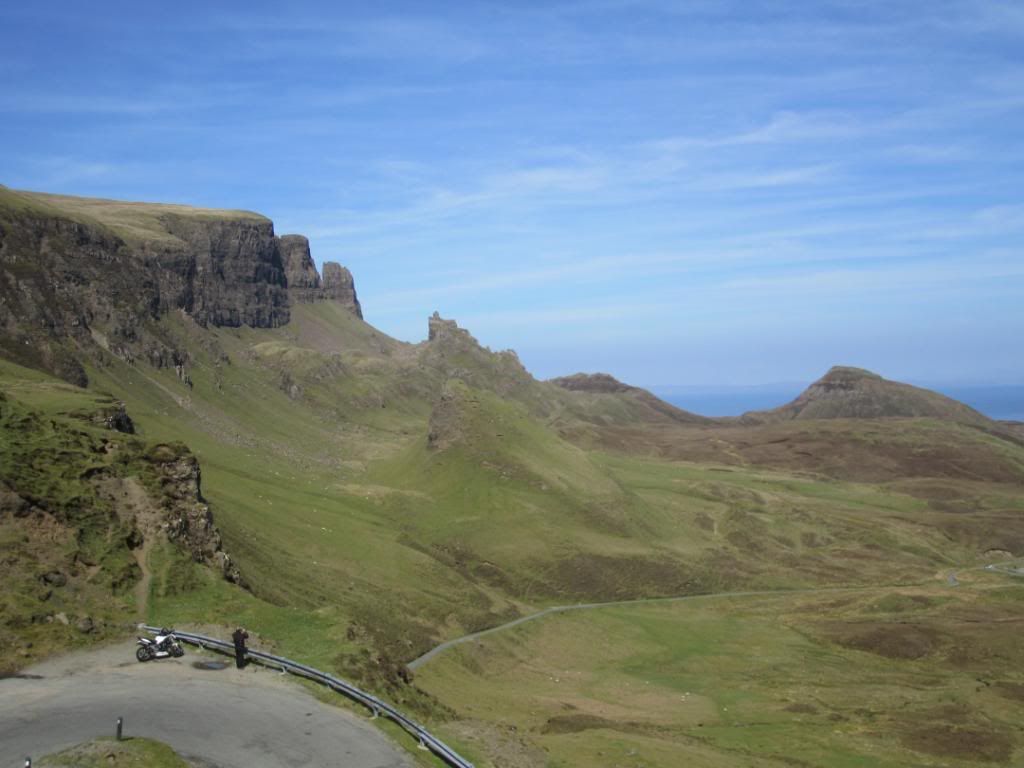
The movie Prometheus was filmed near here at the Old Man of Storr...a bowdlerisation of the Gaelic Bod an Stòr - phallus of Storr.
Then it was onwards down this road back to Uig and a race against time to get to the Talisker Distillery before it closed
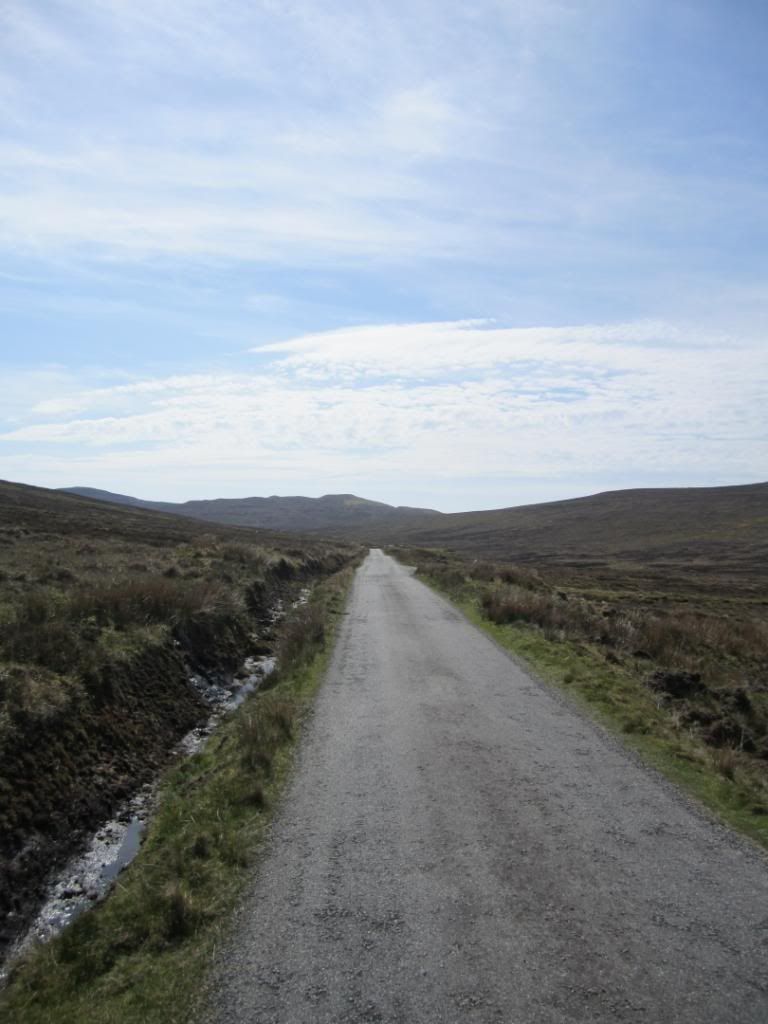
Approaching the mighty Black Cuillins
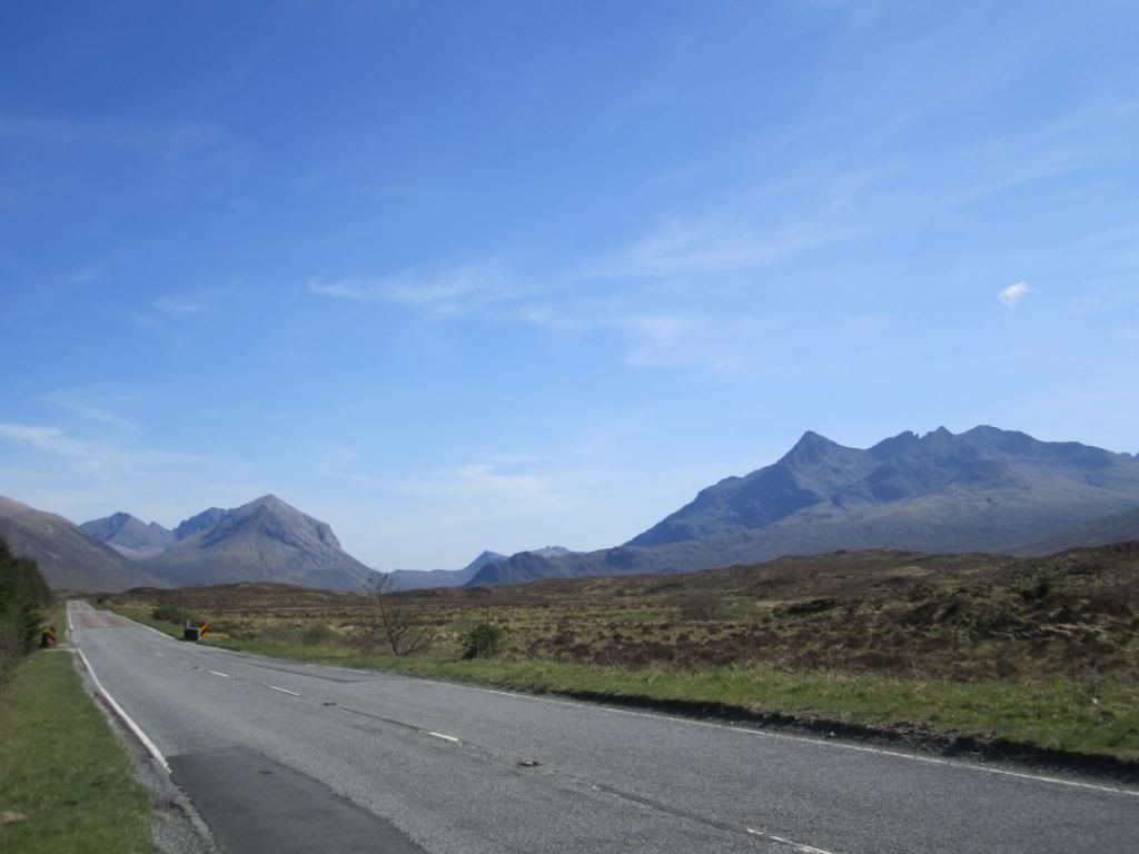
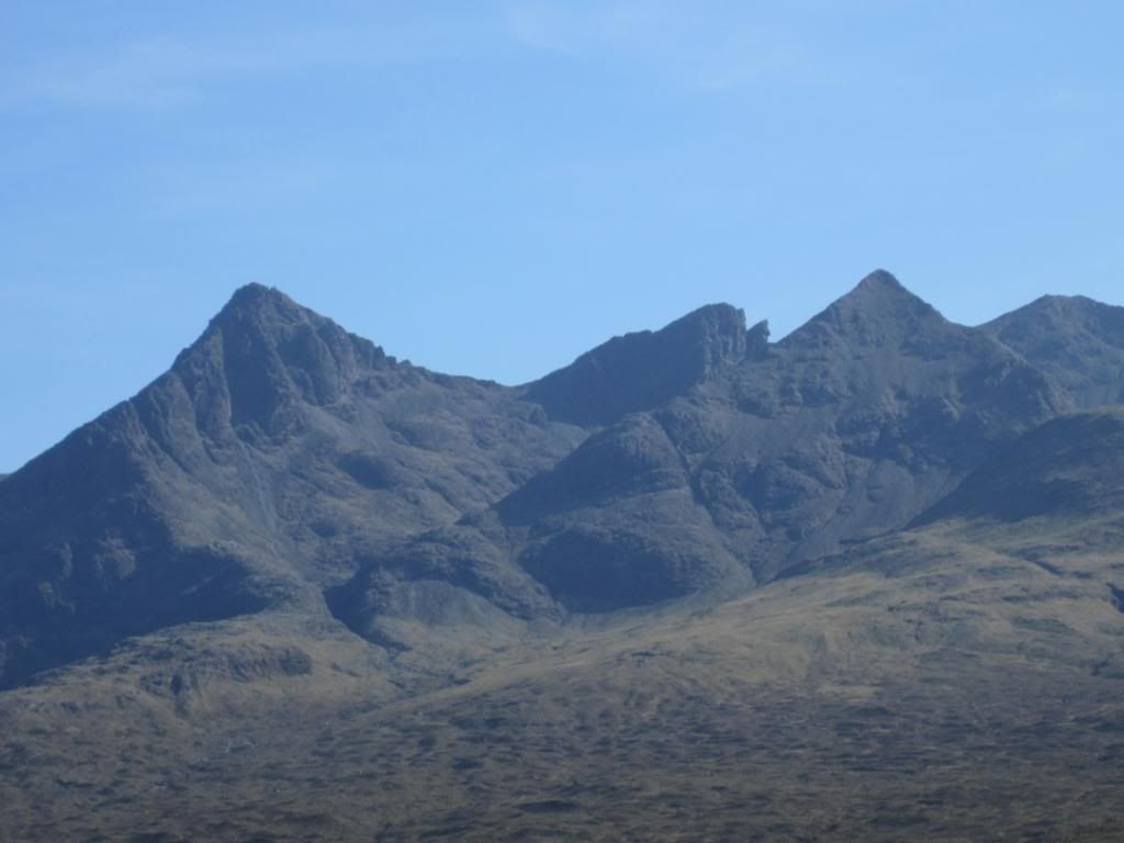
The Black Cuillin is mainly composed of basalt and gabbro, the latter being a very rough rock which makes for superb grip for mountaineers. It is from the dark colour of the gabbro that the Black Cuillin receives its name. The summits of the Cuillin are bare rock, jagged in outline and with steep cliffs and deep cut corries and gullies. All twelve Munros on Skye are Black Cuillin peaks, though one of them, Blaven, is part of a group of outliers separated from the main ridge by Glen Sligachan.
When I was fitter in my youth I traversed part of this ridge from Sgùrr nan Gillean to Sgùrr Alasdair.
From Wikipedia:
In addition to climbing individual peaks, there is the challenge of a full traverse of the ridge. Although only seven miles in length, the average traverse is likely to take 15–20 hours from sea level at Glenbrittle to the bar of the Sligachan Hotel owing to the difficulty of the terrain and route finding problems. The first recorded traverse in under 24 hours was in 1911 by L Shadbolt and A McLaren. The record for the full traverse, set by Es Tresidder in May 2007, stands at 3 hours 17 minutes (though this time is from Gars-bheinn to Sgùrr nan Gillean and does not include the initial ascent from Glenbrittle or the final descent to Sligachan).[2]
And finally...
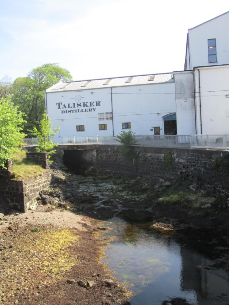
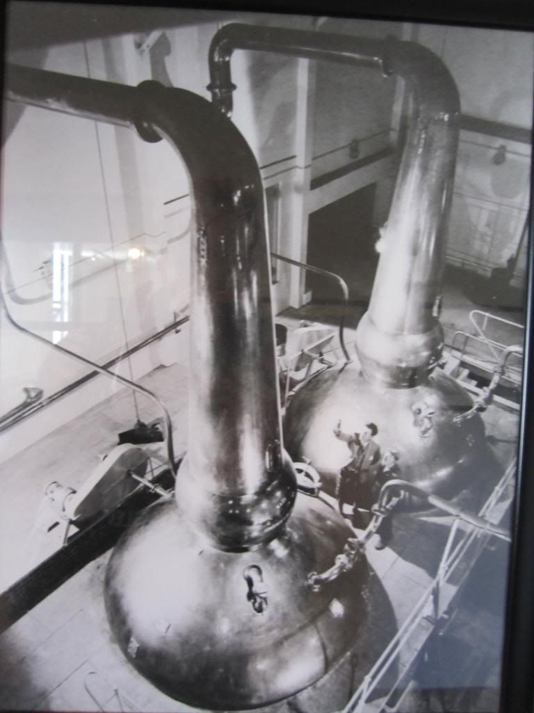
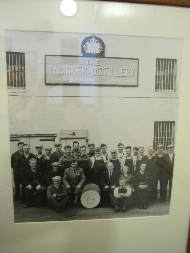
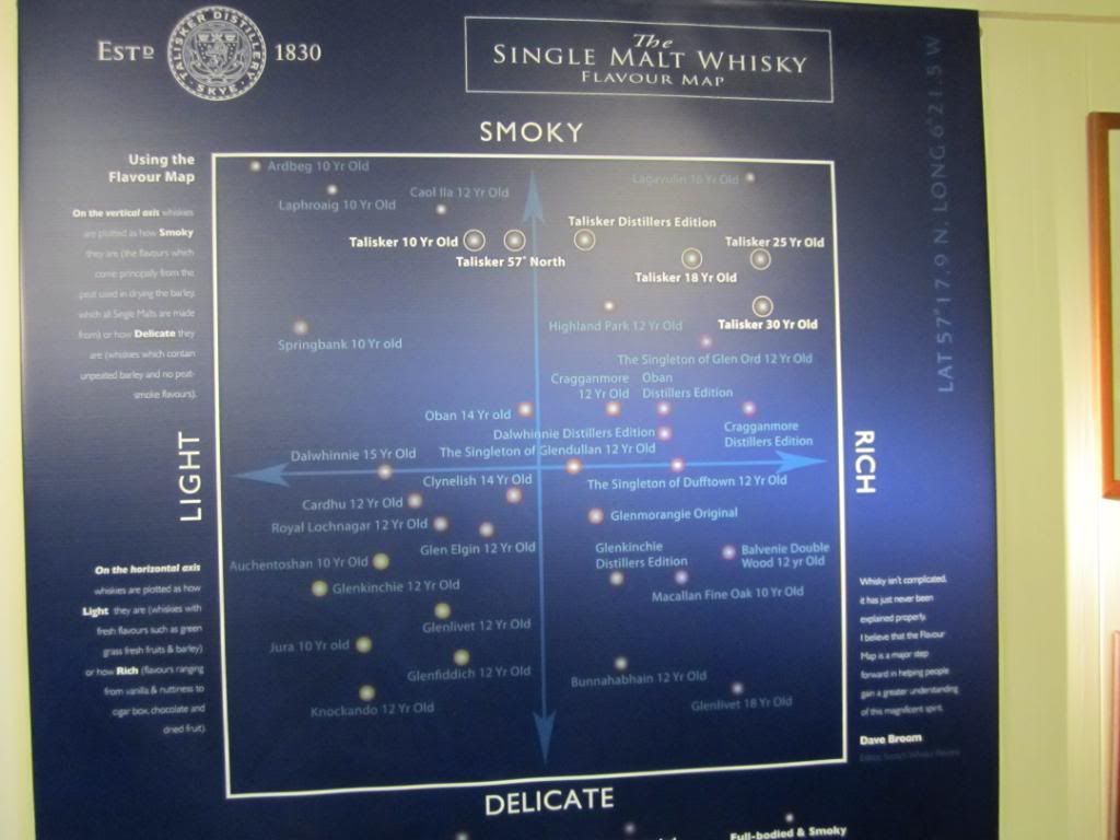
But we were too late as all tours had been booked up all day...a quick taster is all we got at the gift shop. Ourselves, some Norwegian bikers, Italian car drivers and a few others left dissappointed...we headed back to the Sligachan Hotel for dinner

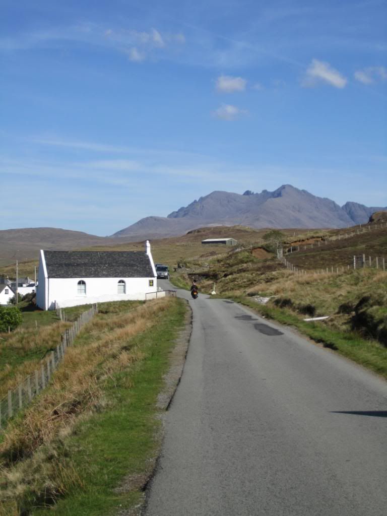
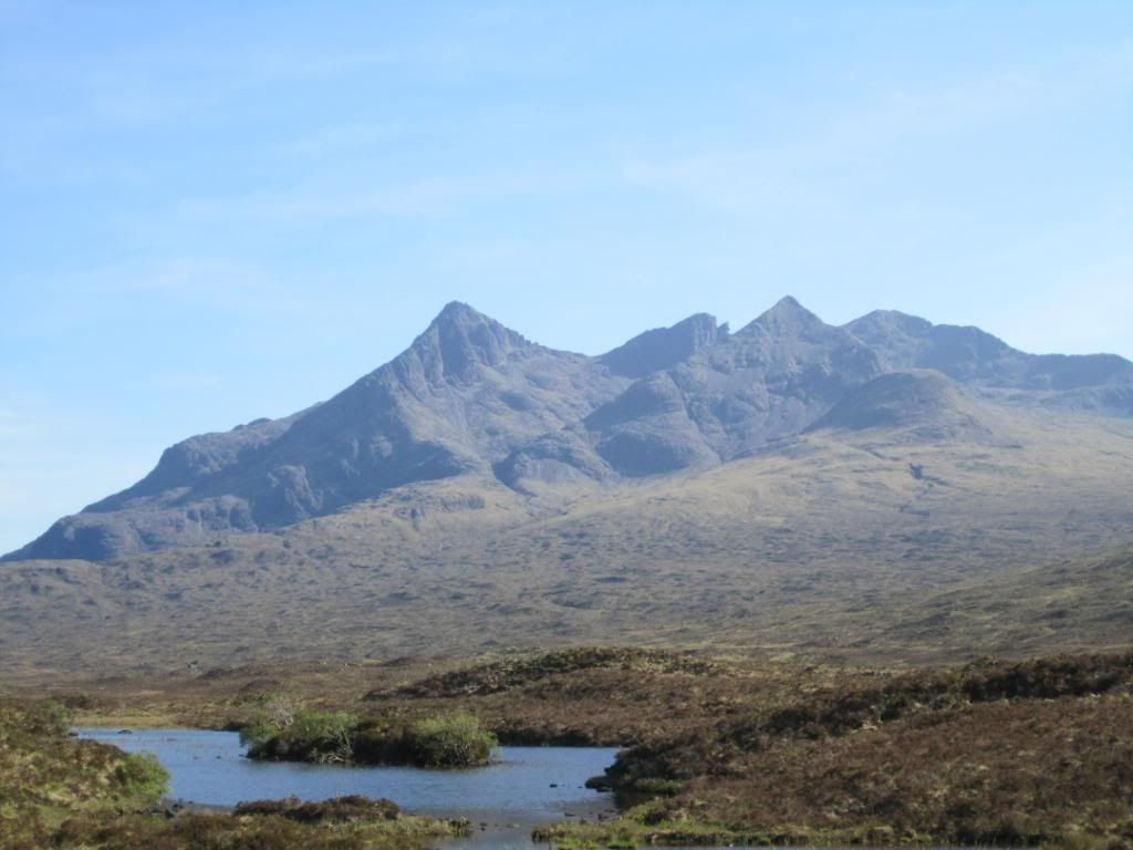
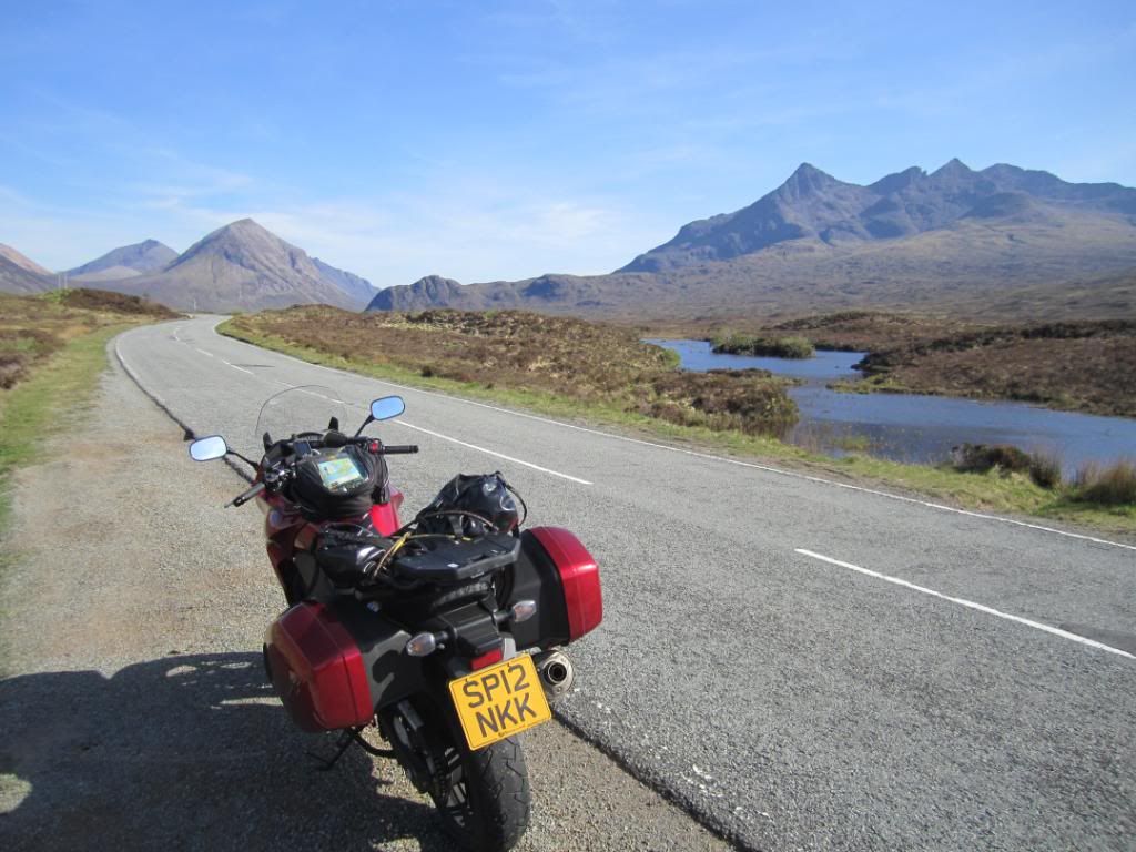
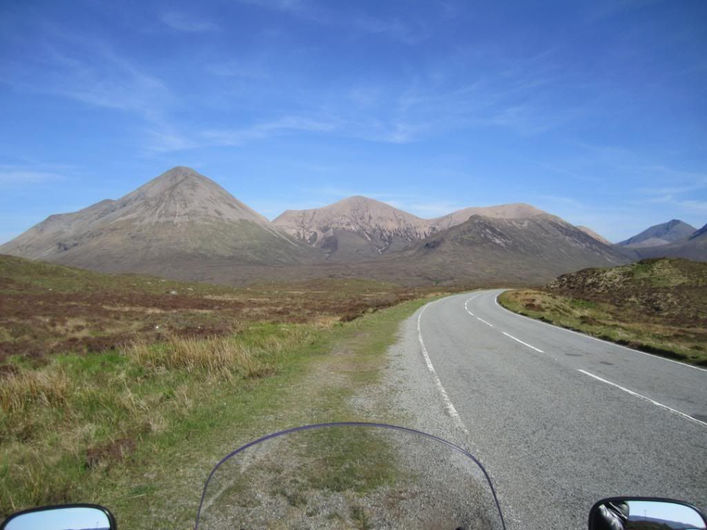
I had camped here many many years ago...met some cool Irish guys then from Cork and we had a good bevy
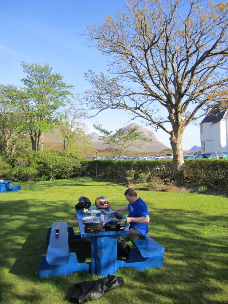
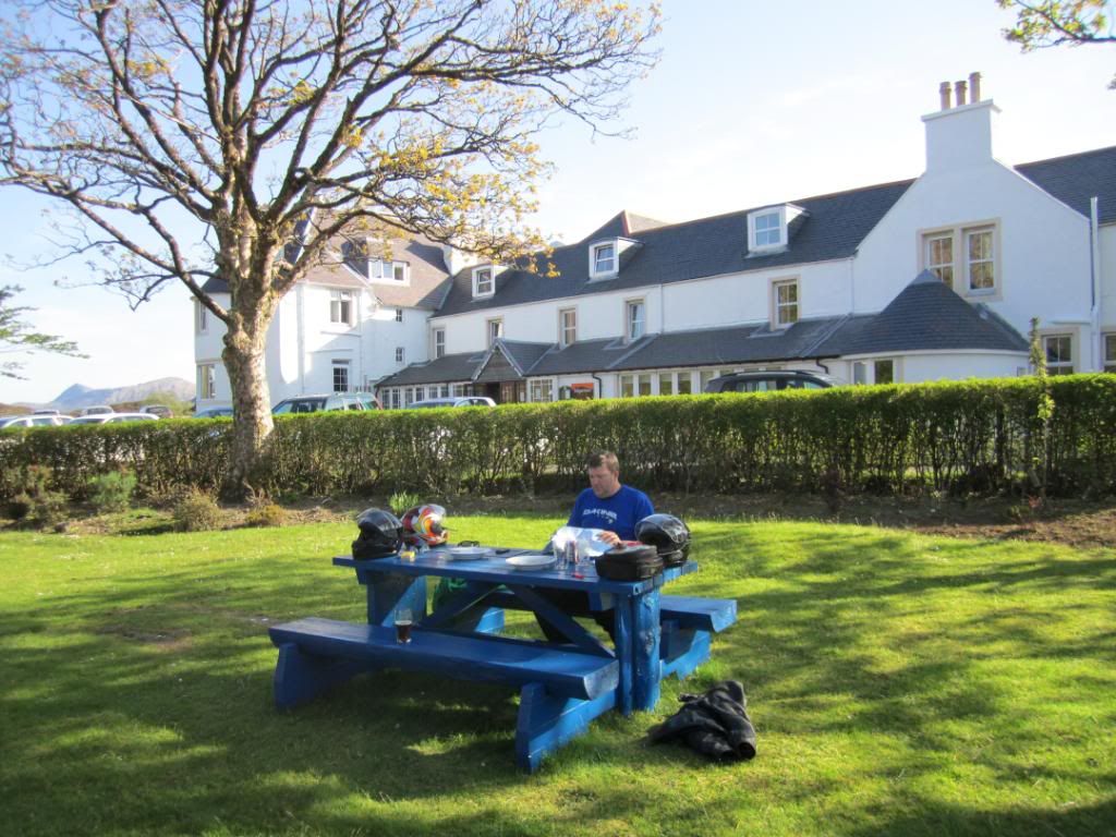
After dinner we had another 2-3 hrs to get to the hostel at Torridon. Lucky it dosent really get dark till about 10.30 pm.
On the road above Loch Carron
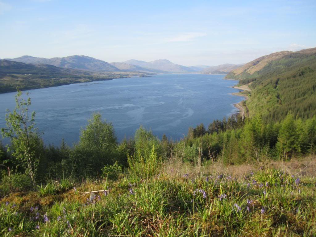
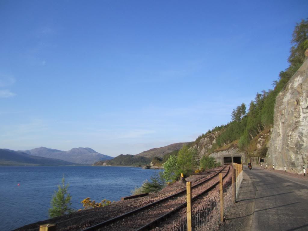
The railway and the road run in parallel by the loch side - the tunnel up ahead is one lane for cars only - you have to hope no one is coming as you cannot see the start from the other side

At 9pm we had a choice to make..take the easy road and be there in 20 mins or...take this road and take another 90 mins
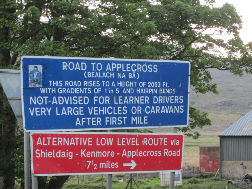
Being good bikers we chose the exciting route

Going up..
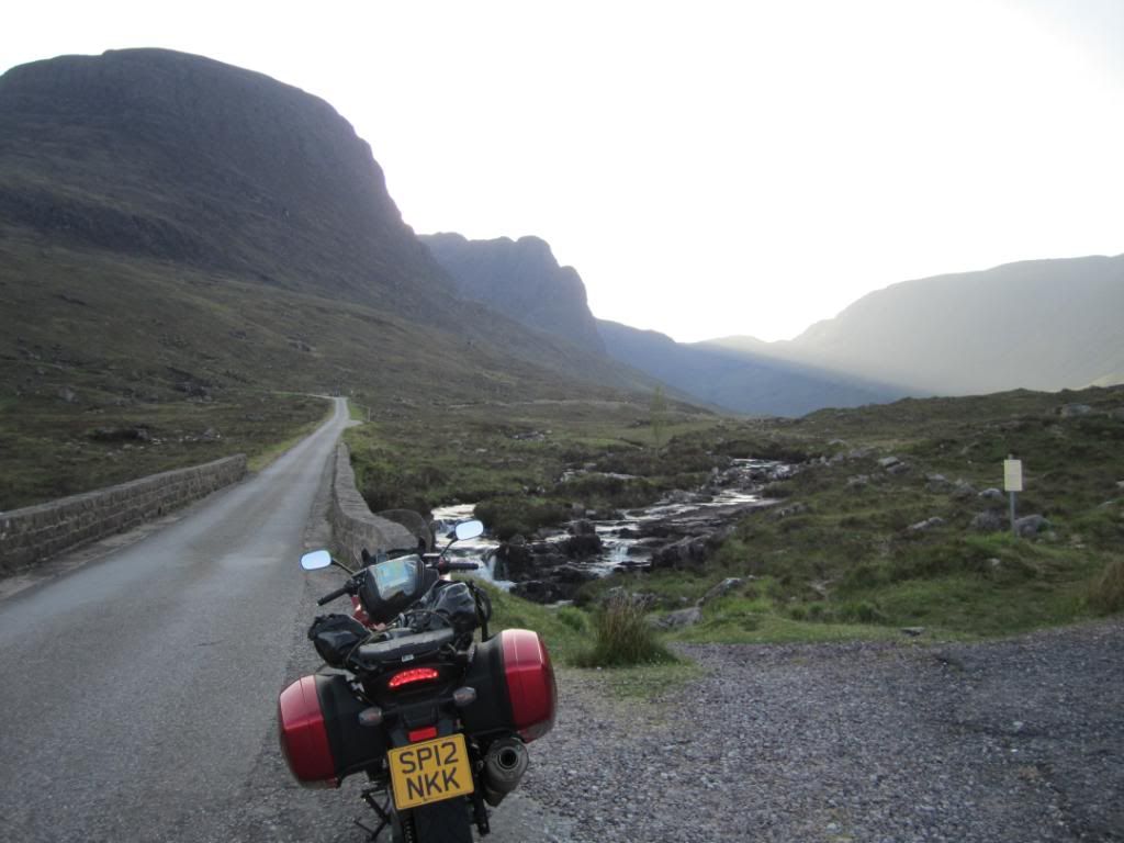
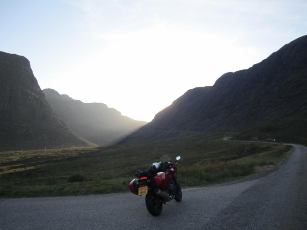
at the top of the hairpin bends (which you cant see in this pic)
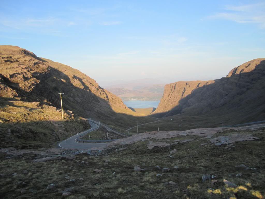
the view to Rassay from the top
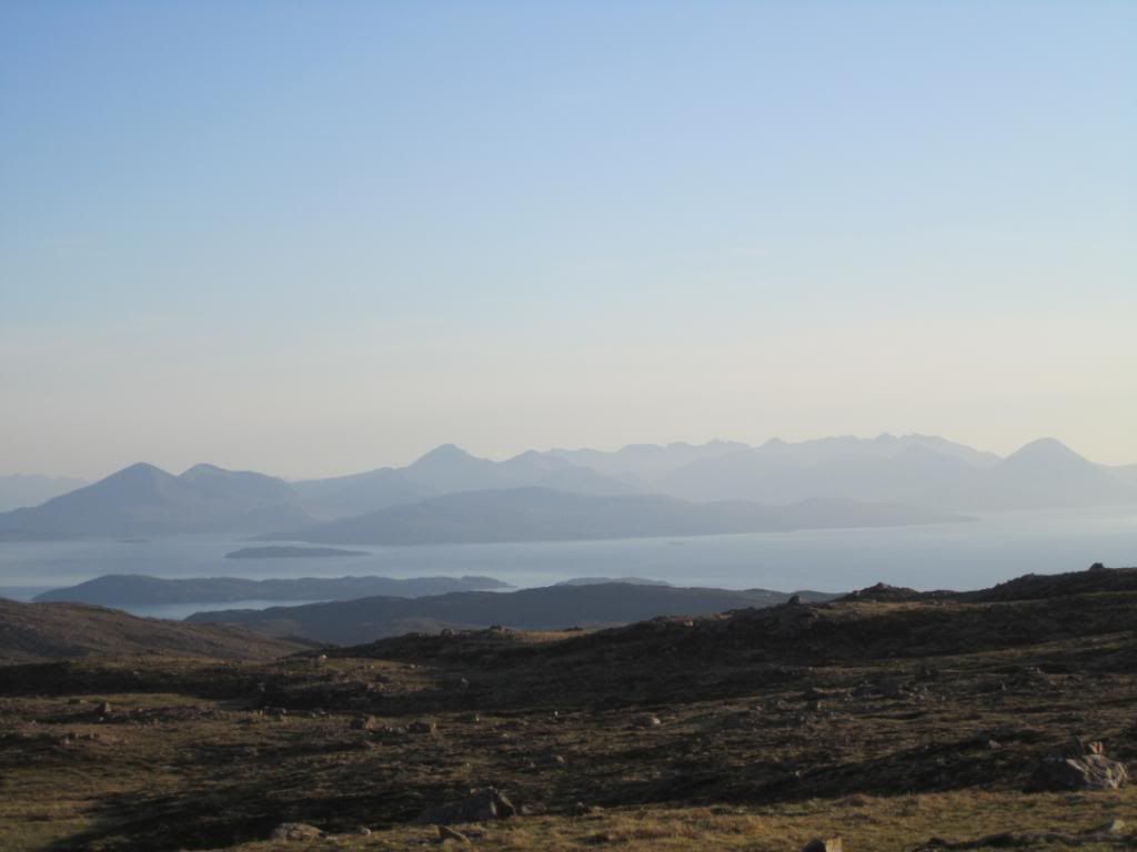
and then heading down a steep twisty road with deer around (I saw one!)
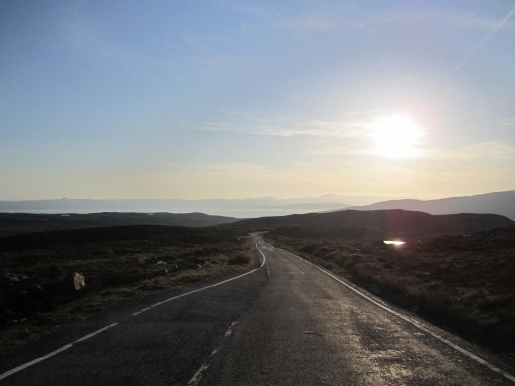
and then the coastal section
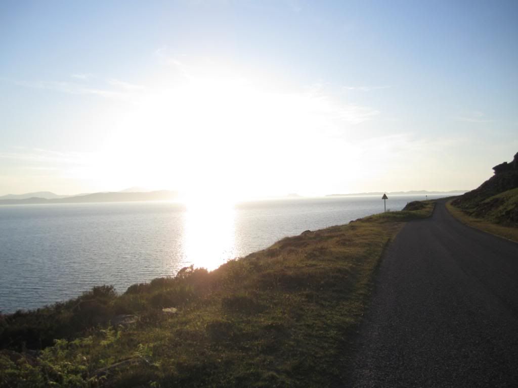
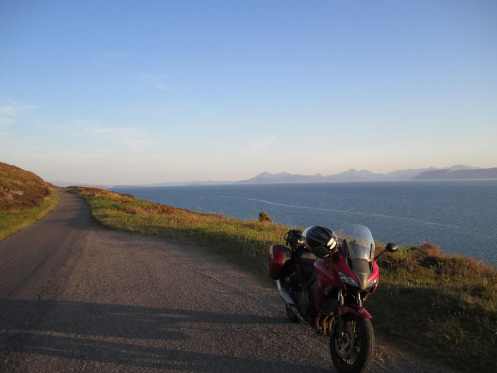
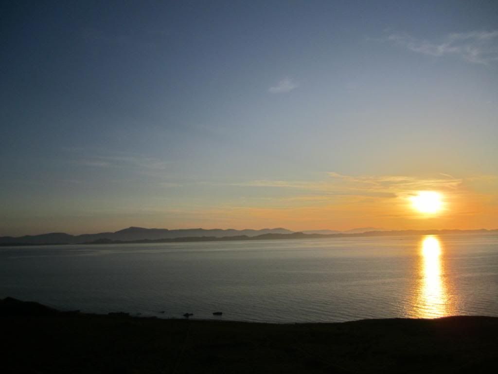
made for some good shots into the sunset
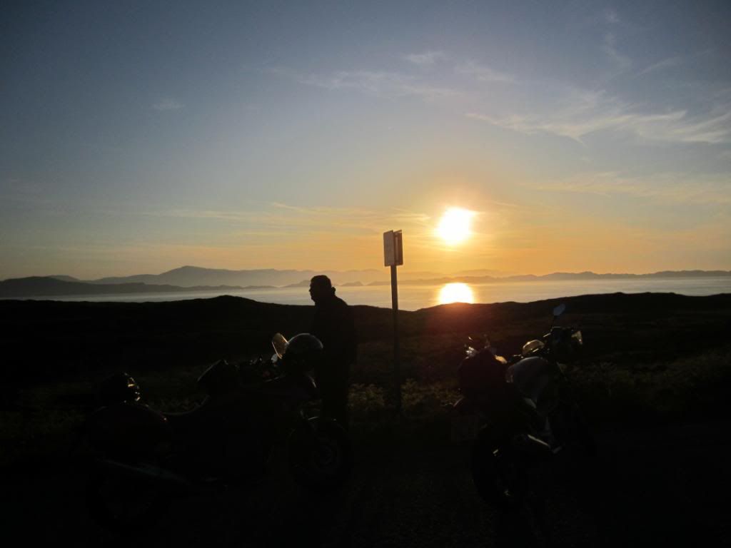
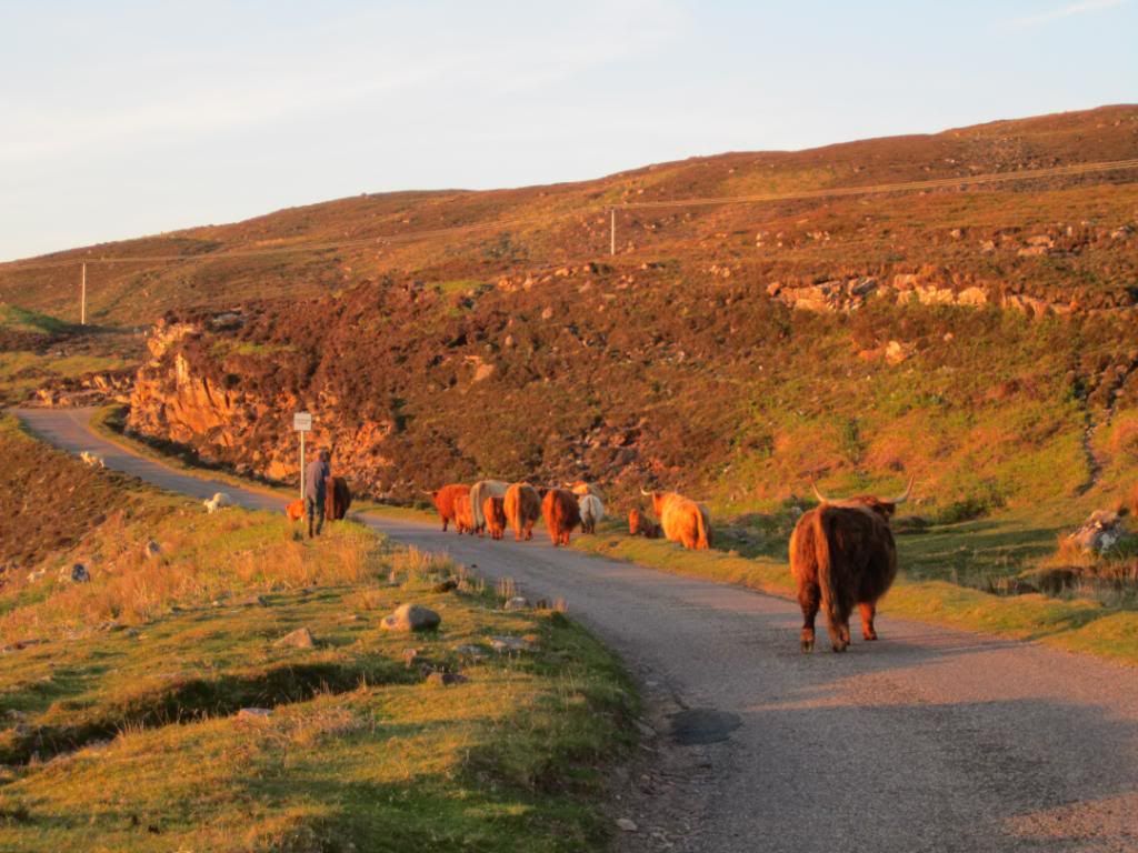
and then we came upon a farmer taking his Highland cows for an evening stroll along the road...at his prompting we had to drive through them very very slowly

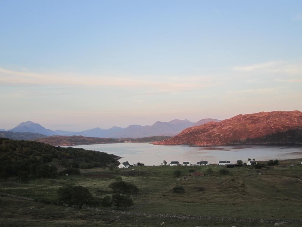
and then we were heading into the mountainous area of Applecross/Torridon
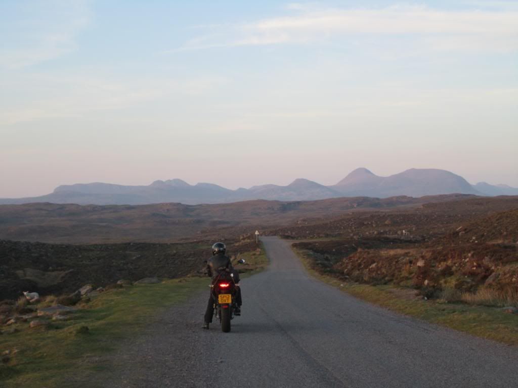
and the light was amazing
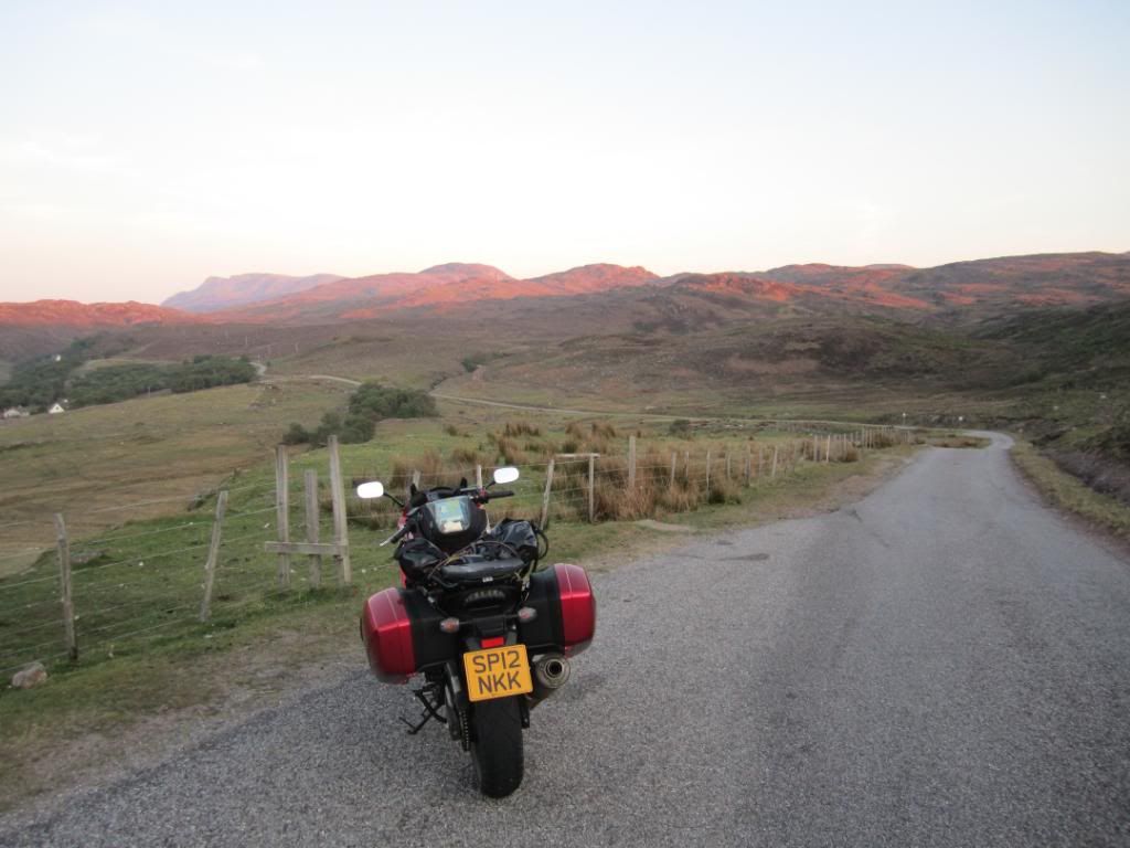
as were the roads!!
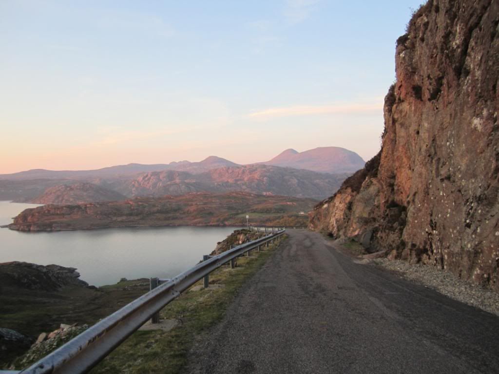
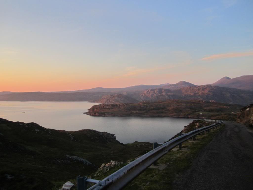
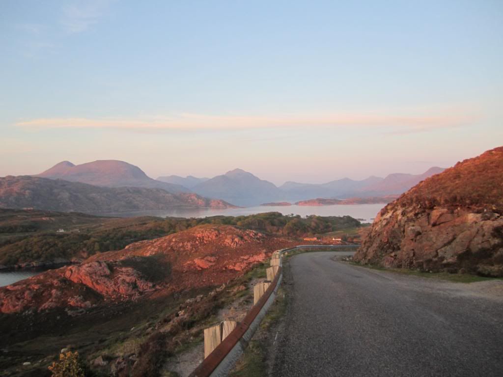
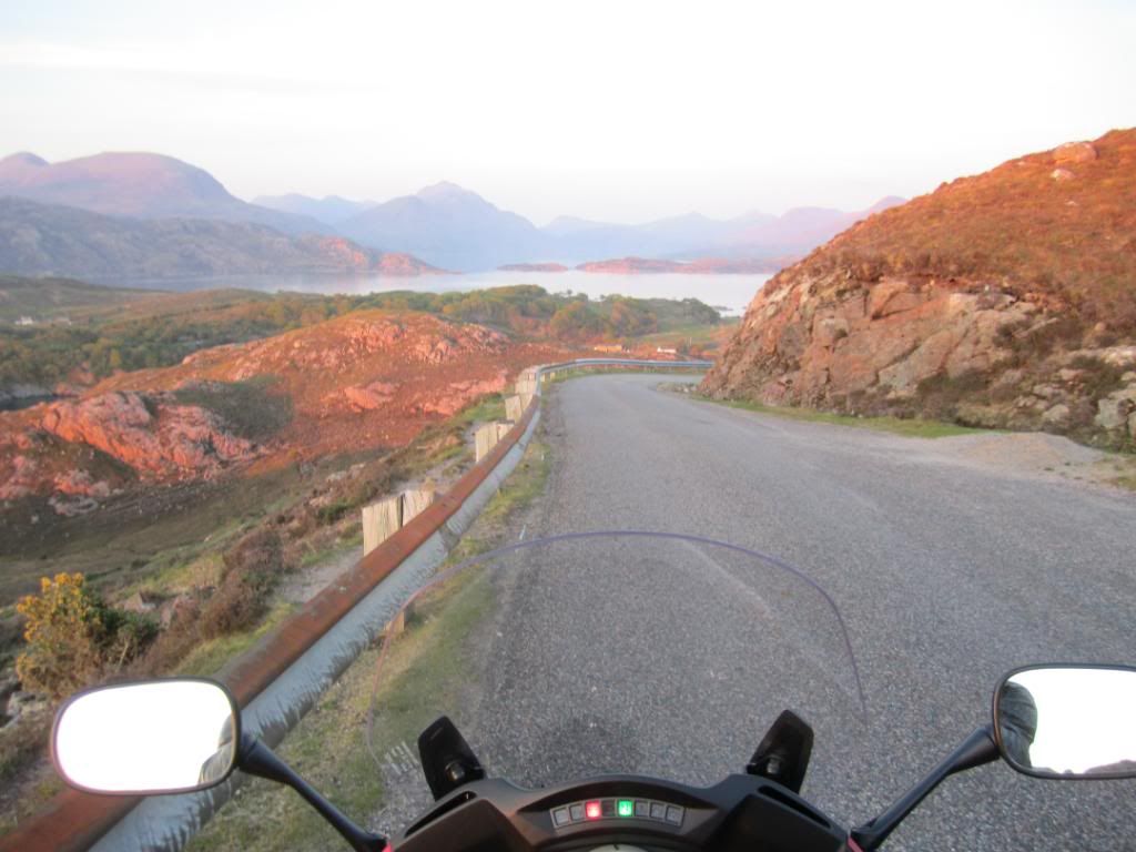
watch out for the sheep!
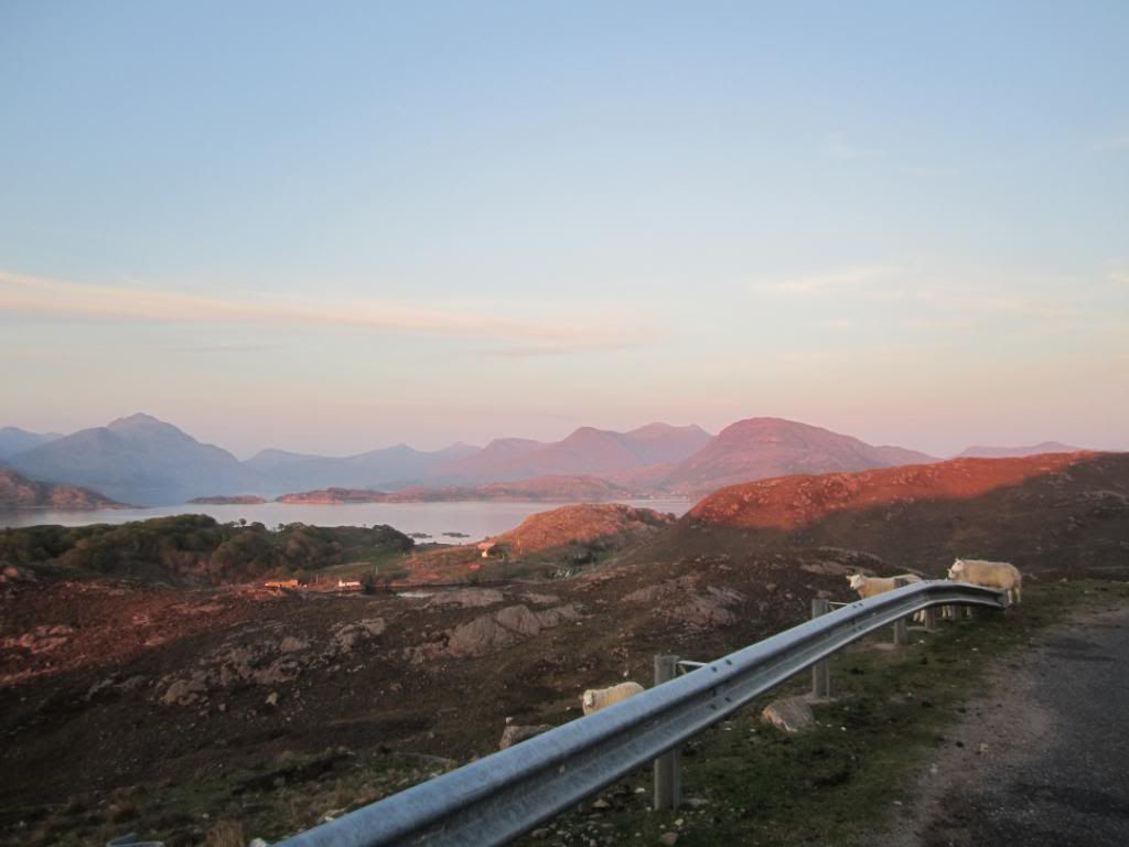
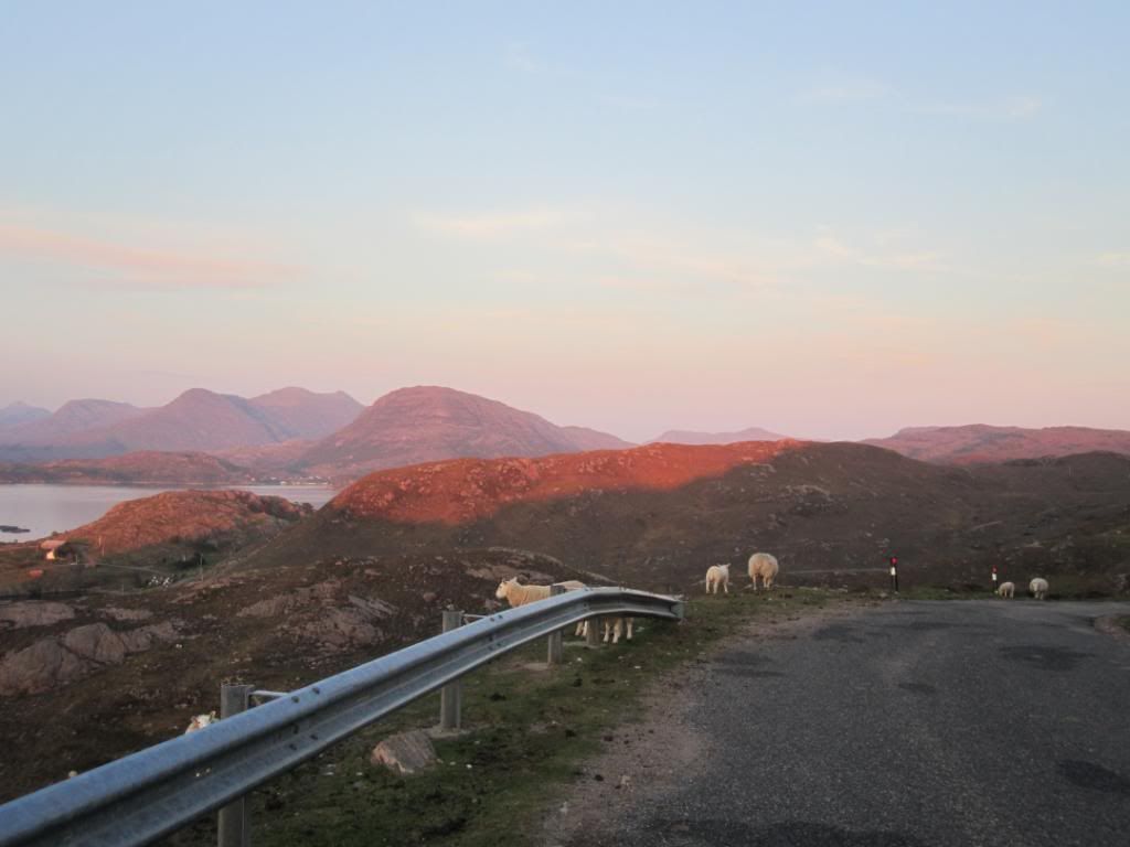
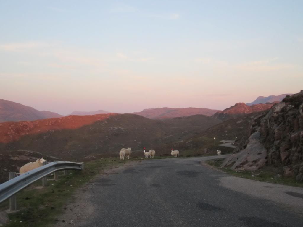
Sun was slowly setting
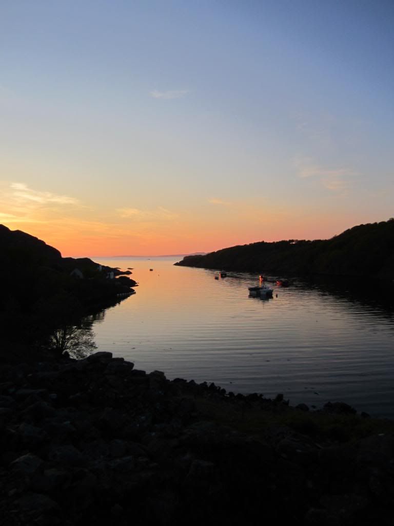
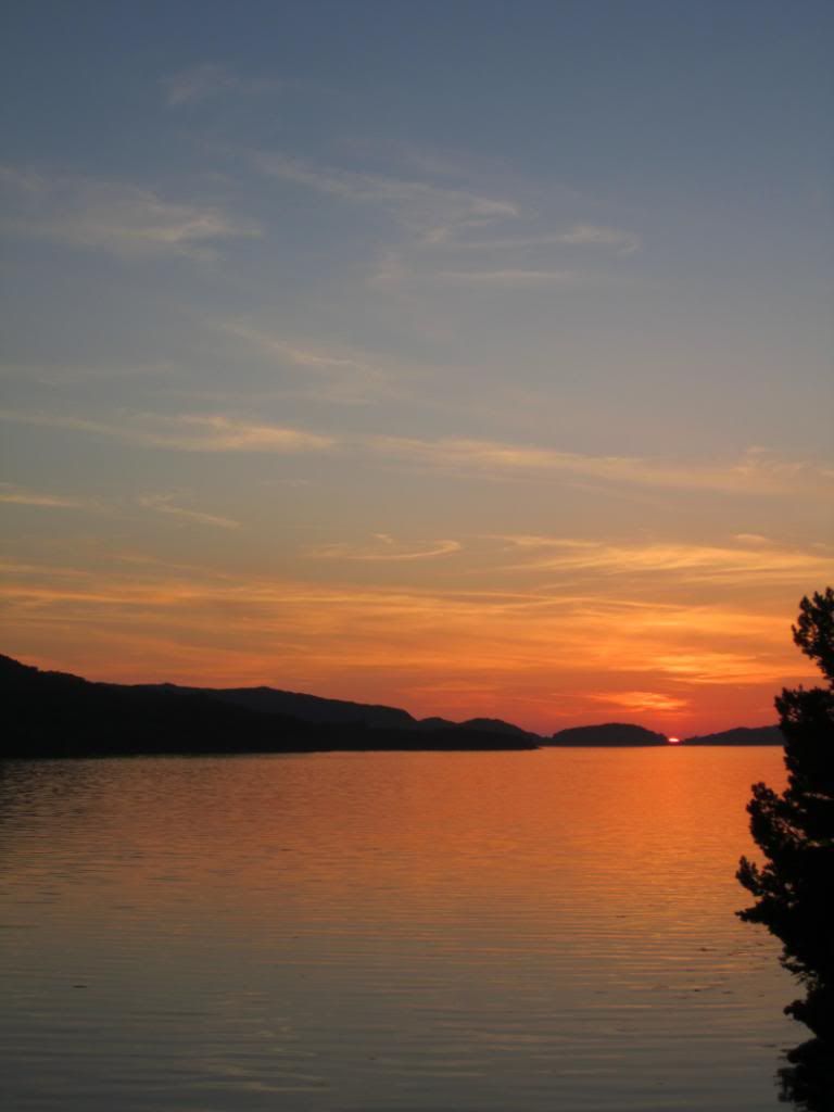
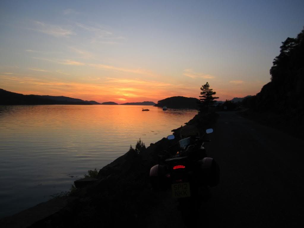
almost there
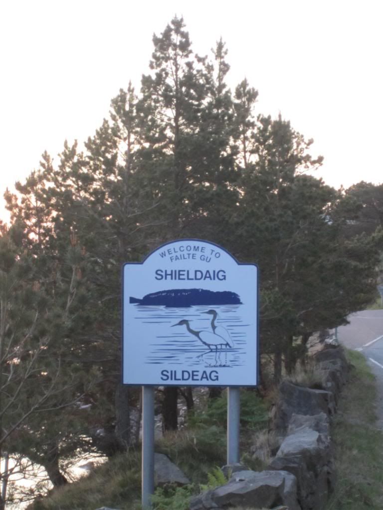
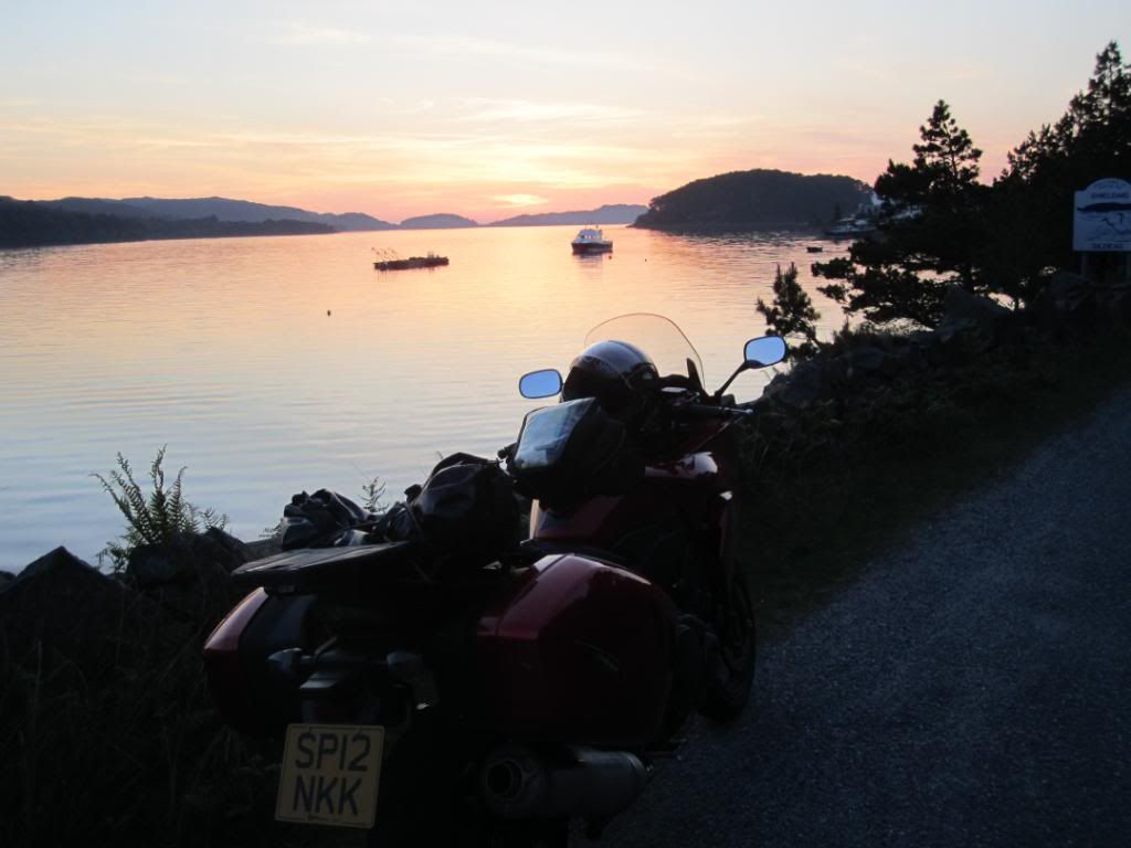
This was the moment we found out the hostel was full...and we had no backup plan...10.35 pm...
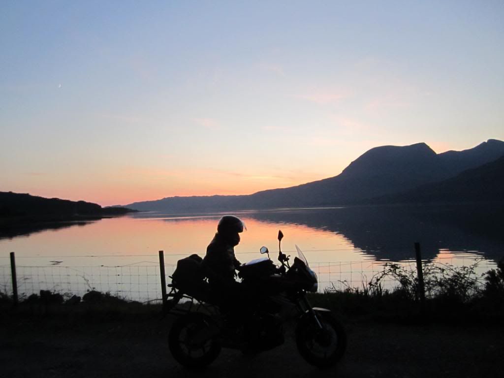
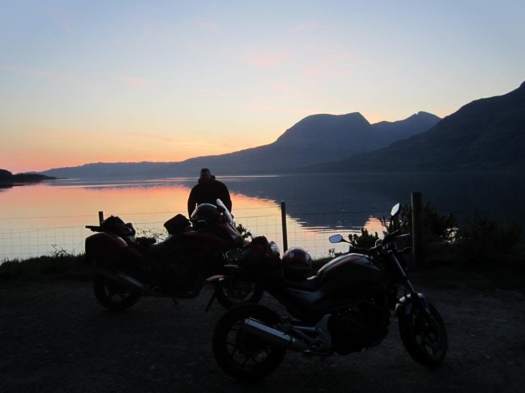
Lucky for us we had just passed the Torridon Inn -
https://gc.synxis.com/rez.aspx?hotel=27663&src=torridoninnand we inquired about a price for 3 of us...well we got a great deal (with breakfast)!!... and ended up in the bar till 12.30am...very lucky end to the day...and what a day...does it get any better than this?
Day 5: the trip comes to an end but not before a high speed ride back through Glencoe via the famous Eilan Donan castle and finally back to Perth. It was Friday and it seemed every motorcyclist was driving North to make the most of the weather...bikers everywhere...
cheers
Andy